Close-ups
Framed and on the wall
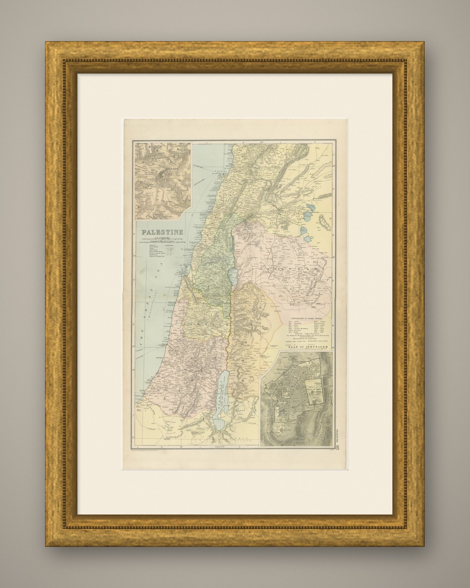
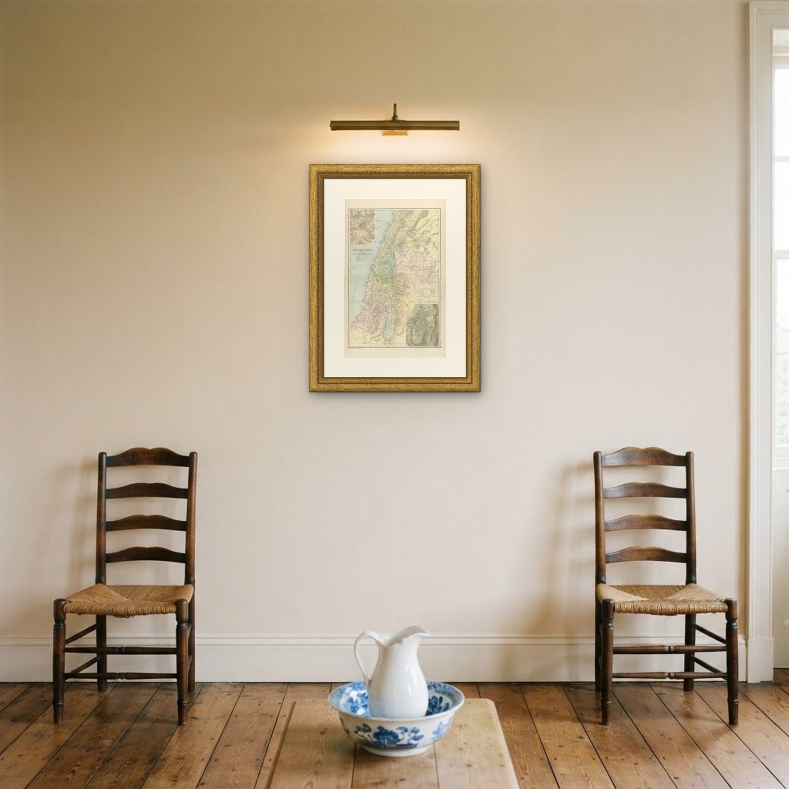
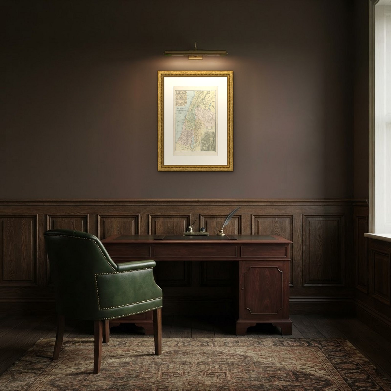
Frame and rooms are illustrations of how the print could look, drawn to its real size; it is sold unframed unless the description says otherwise.
The Holy Land
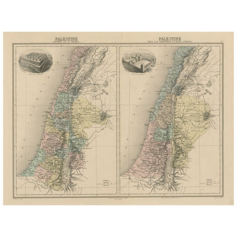
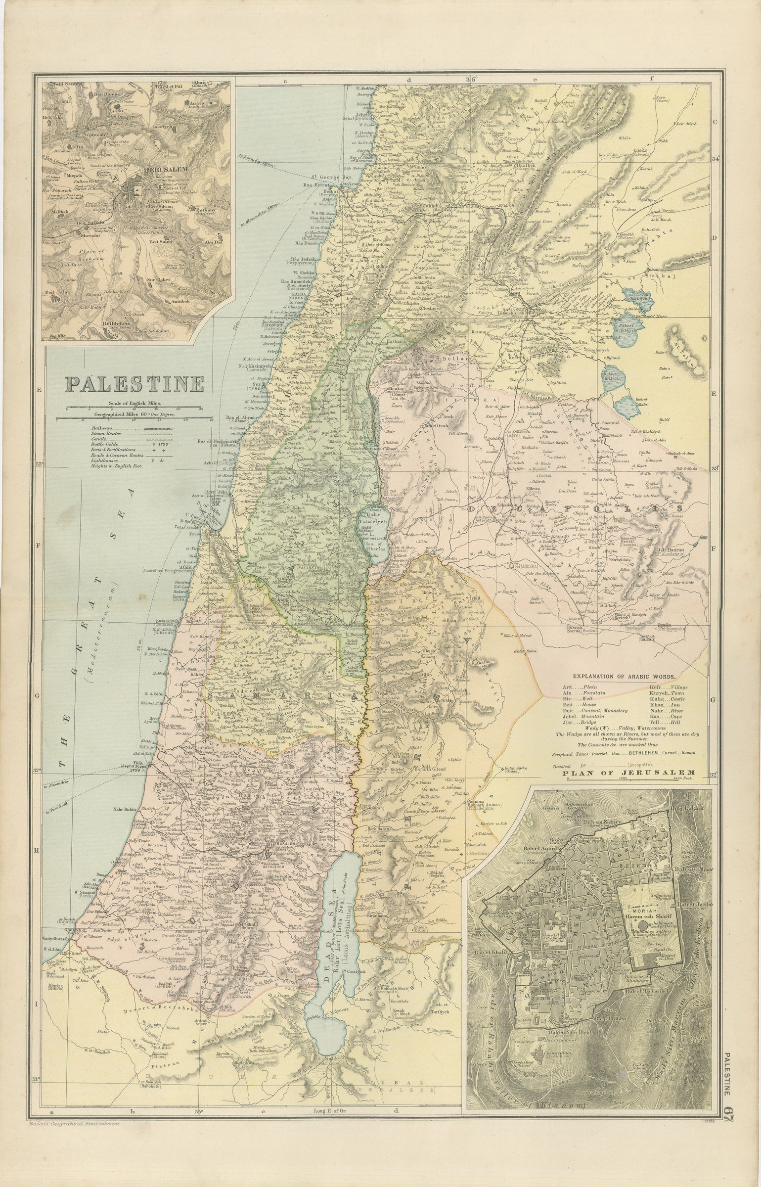
Antique Map of Palestine, with a Plan of Jerusalem, Bacon, 1898
Anno Domini MDCCCXCVIII1898
£245
$325 · €295
Original print, not a reproduction
Ships worldwide from the Netherlands, flat or rolled, insured and tracked. 14-day returns.
- Date
- 1898
- Sheet size
- 21.3 × 13.4 in (54 × 34 cm)
- Technique
- Lithograph
- Coloring
- Printed color
- Condition
- Good. Light overall age toning, with the paper darker along the right and left edges and a few handling marks in the margins. The printed image itself is clean.
- Faith
- Christianity, Judaism
- Collection
- The Holy Land
- Era
- 1850 and after, Chromolithographs and devotional prints
- Stock no.
- BG-06675-67
What the condition grades mean
- Excellent
- Bright and clean, with no faults worth mentioning.
- Very good
- Only light signs of age, such as faint toning.
- Good
- Normal signs of age for a sheet of this period: toning, some foxing, small marks or neat old repairs.
- Fair
- Clear faults such as staining, tears or repairs, priced to match.
Every fault we see is written in the condition note, and the whole sheet is shown uncropped in the photos.
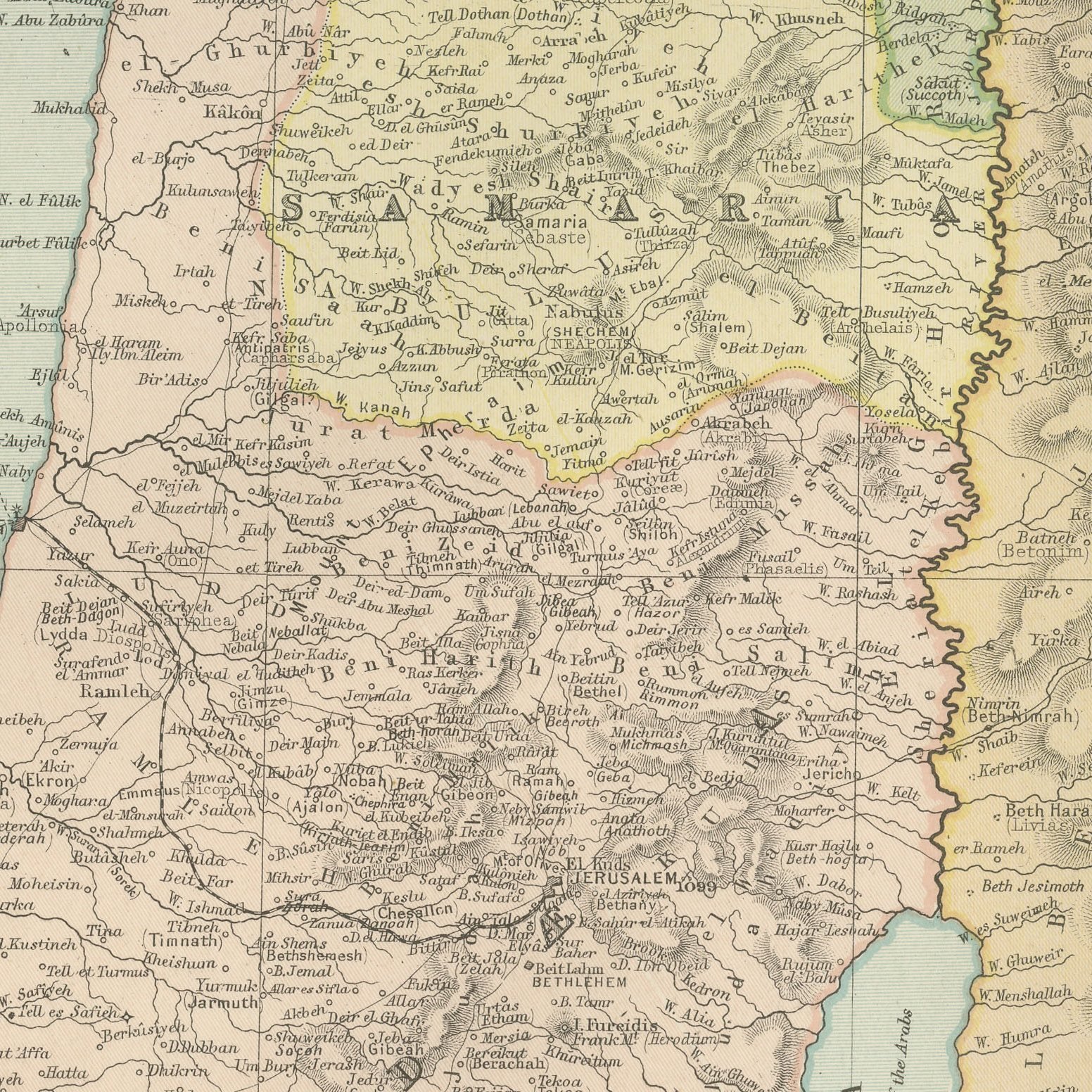
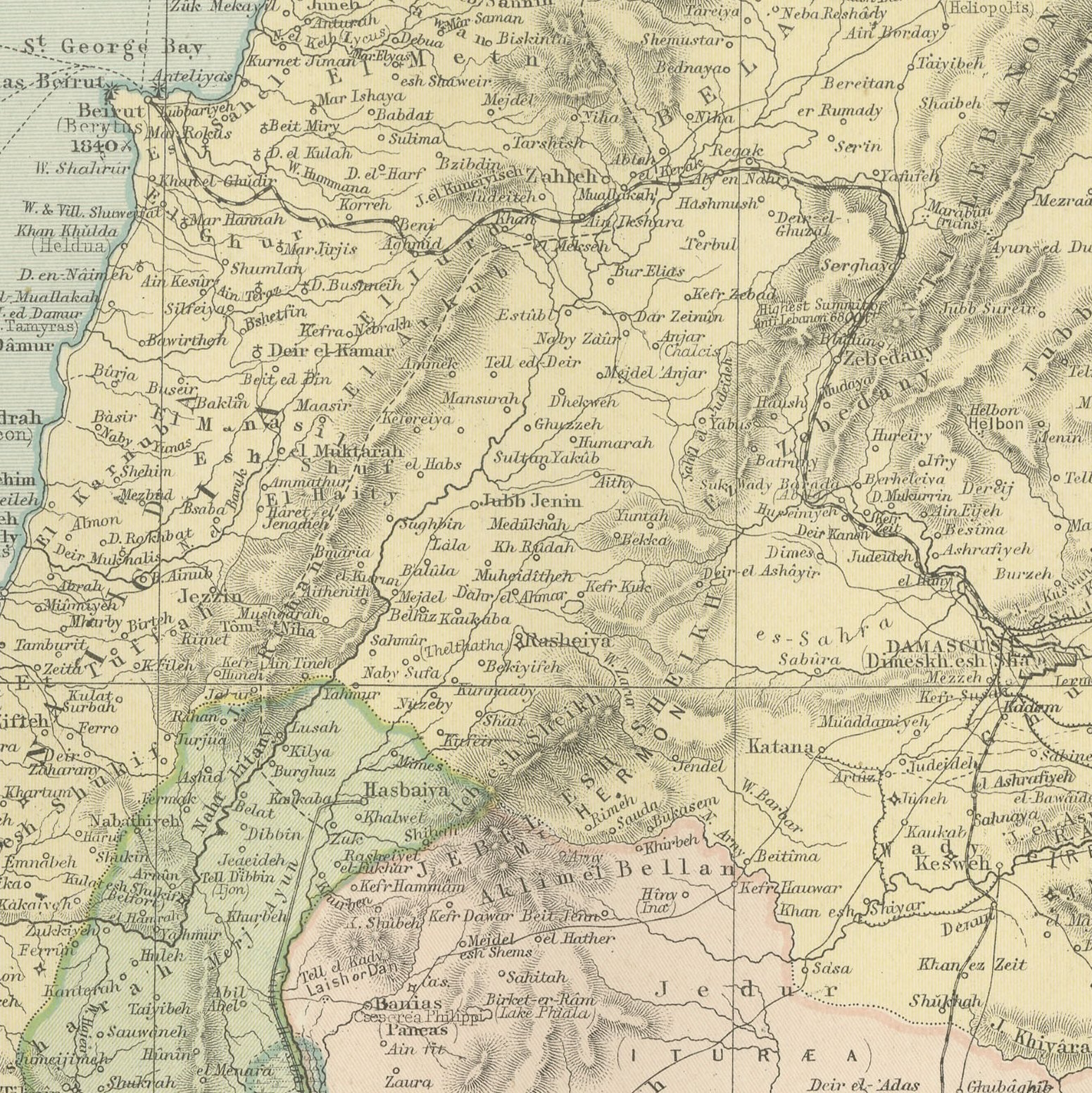
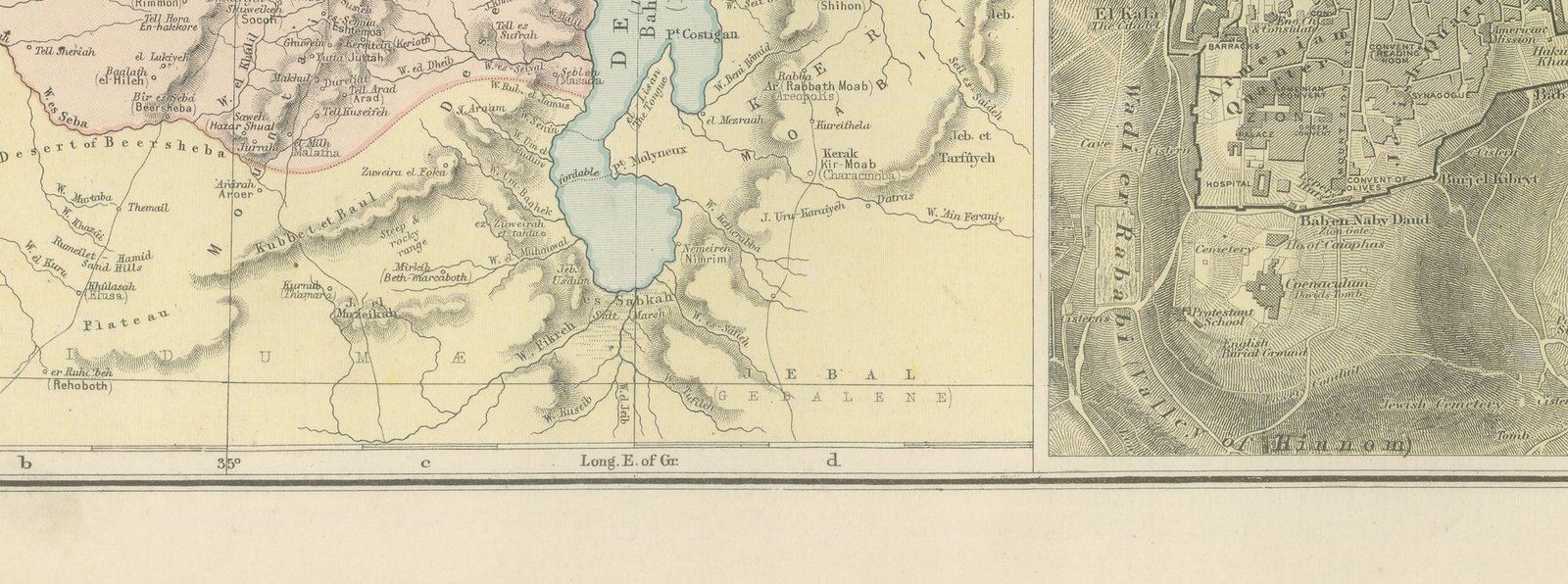
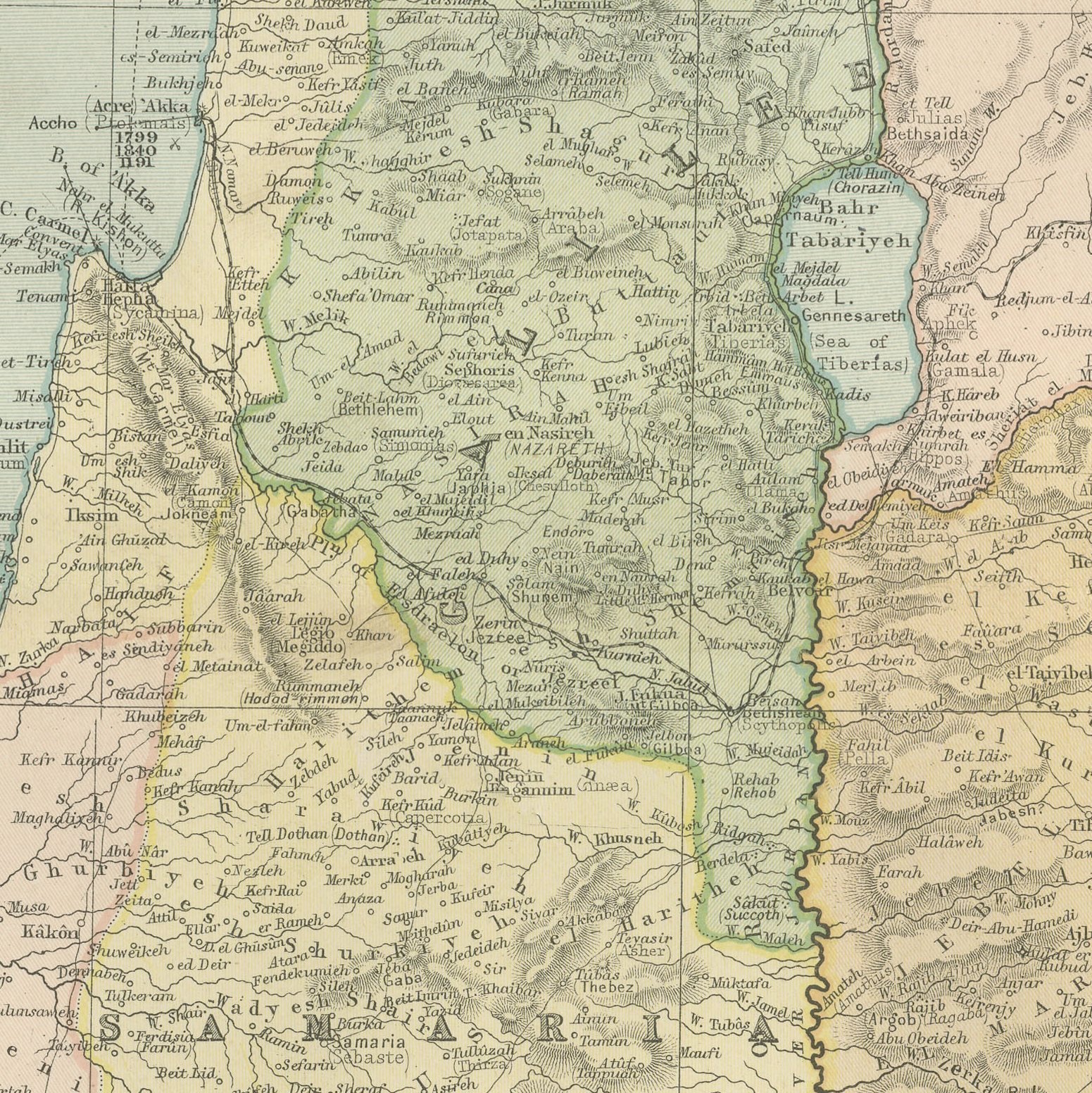
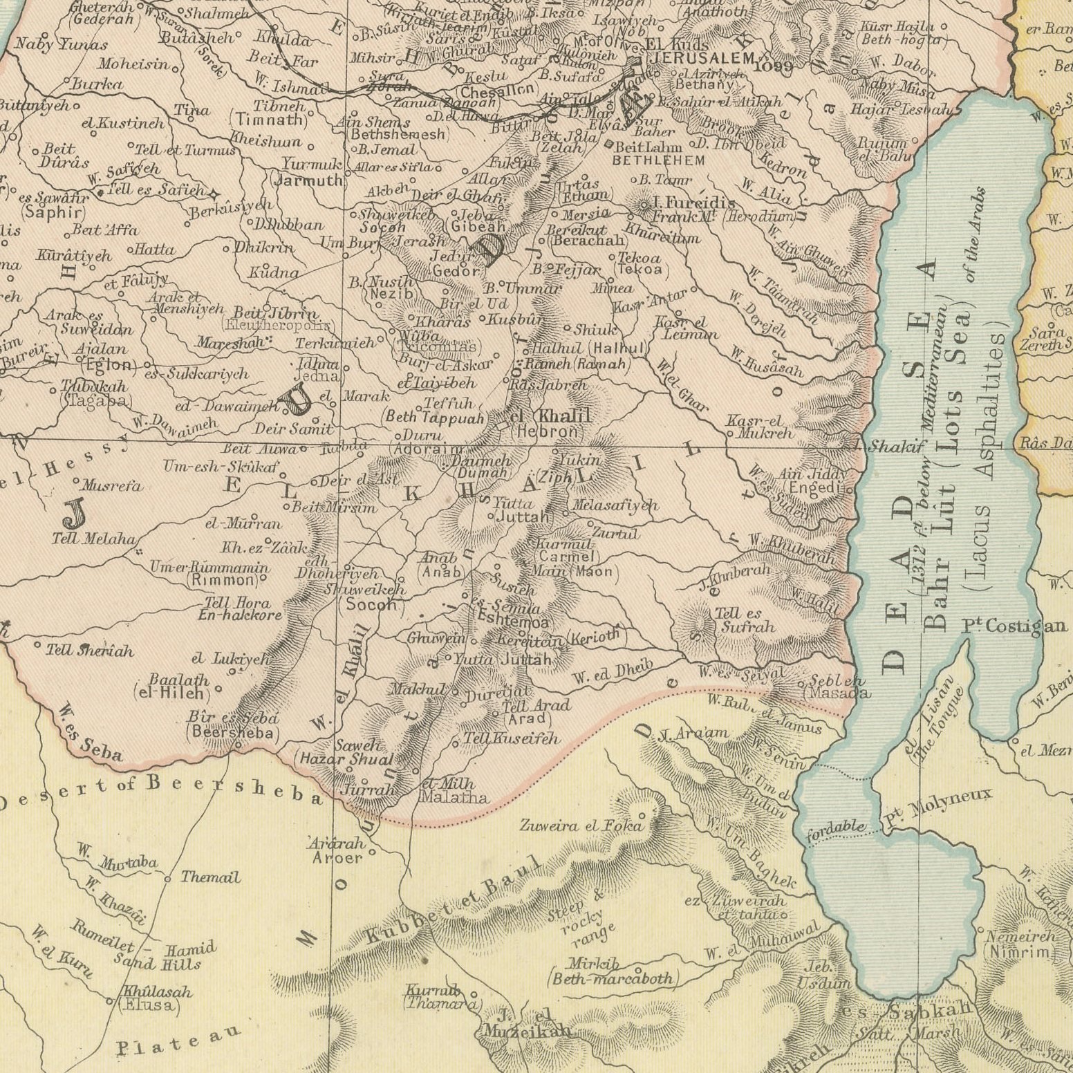
An original antique map of Palestine, color printed in London in 1898 for G. W. Bacon's Commercial and Library Atlas of the World. The upright double page runs from Mount Hermon to Beersheba and from the Mediterranean to the edge of the desert, with Galilee, Samaria, Judea, the Decapolis and Perea separately colored, the Jordan drawn from the Sea of Galilee to the Dead Sea, and scriptural names printed in a second letter beside the modern Arabic ones. A panel explains the Arabic words used on the map, and two insets give the environs of Jerusalem and a street plan of the walled city.
Bacon's Commercial and Library Atlas of the World appeared from 127 Strand in 1898, edited by George Washington Bacon, an American who settled in London and built one of the busiest map houses in Victorian Britain. The volume ran to one hundred double page maps and one hundred insets, backed by an index of fifty thousand places, and its plates were drawn, printed and colored at Bacon's own Geographical Establishment, whose imprint appears in the lower margin of the sheets.
Palestine was mapped more intensively than any comparable piece of ground in the nineteenth century, and a sheet of this date carries the results of the Palestine Exploration Fund survey in a commercial atlas. The plan of Jerusalem shows the Haram esh Sherif, the Via Dolorosa and the quarters of the old city before any modern building outside the walls. It is the sheet in this atlas with the widest appeal, wanted by collectors of Holy Land material, by biblical scholars and by anyone with a tie to the city.
Light overall age toning, with the paper darker along the right and left edges and a few handling marks in the margins. The printed image itself is clean.
Framed simply, a sheet of this size holds a wall on its own, and the clear color printing reads well across a room. It suits a study, a library, an office or a hallway, and it is an easy gift for anyone with a connection to the place it shows. This is an original antique map, not a modern reproduction. This item is sold unframed.
Explore