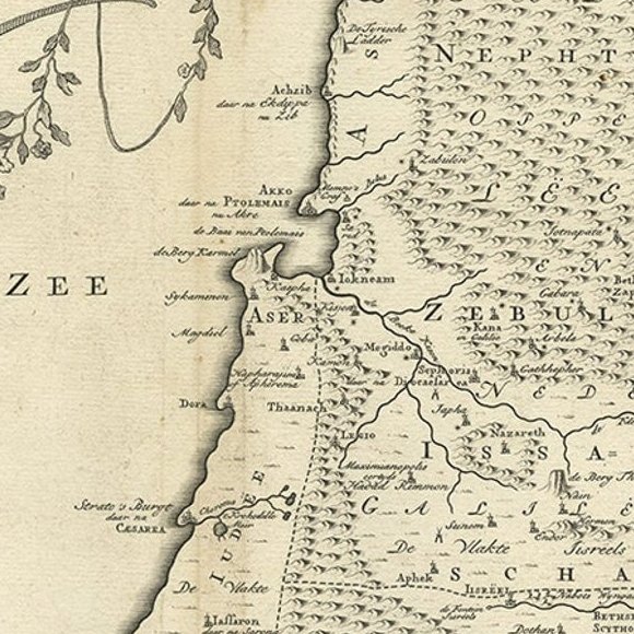
Close-ups
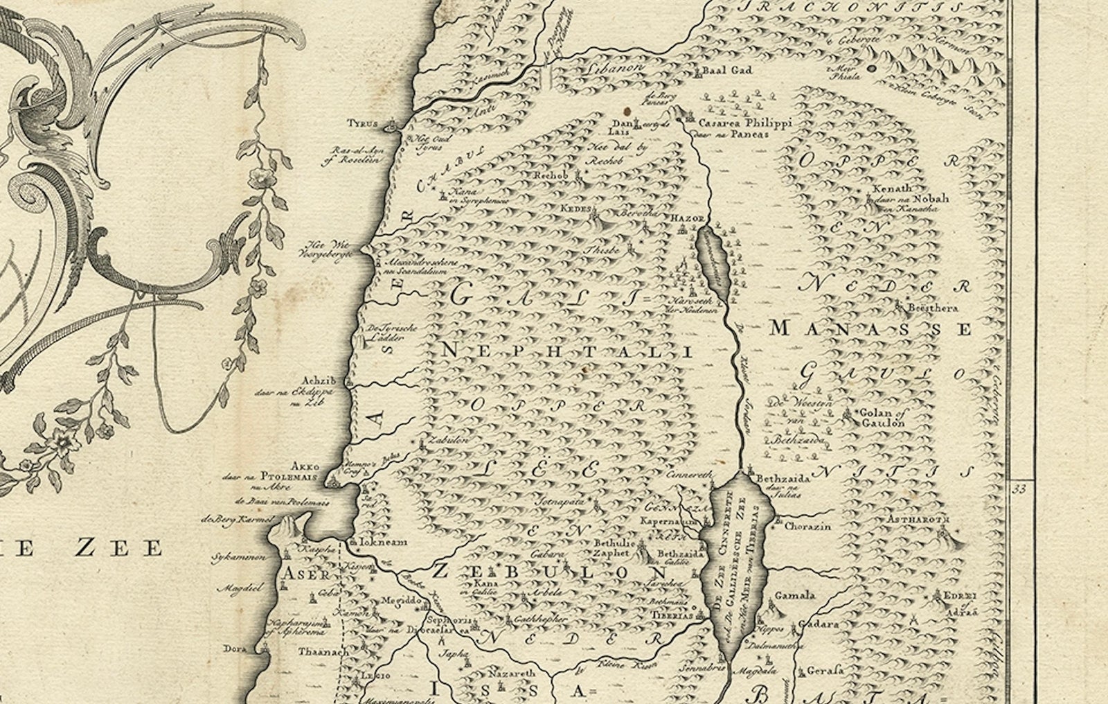
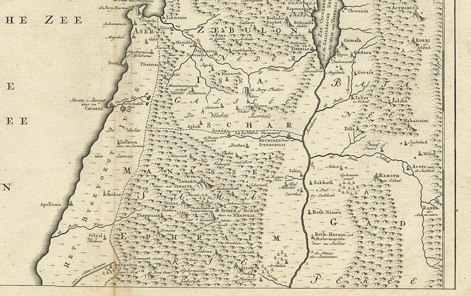
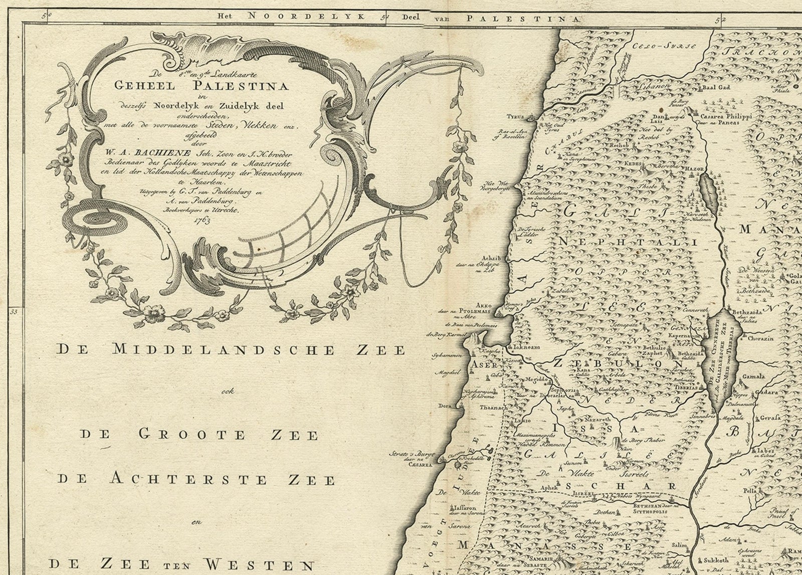
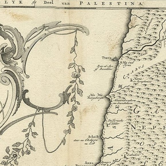
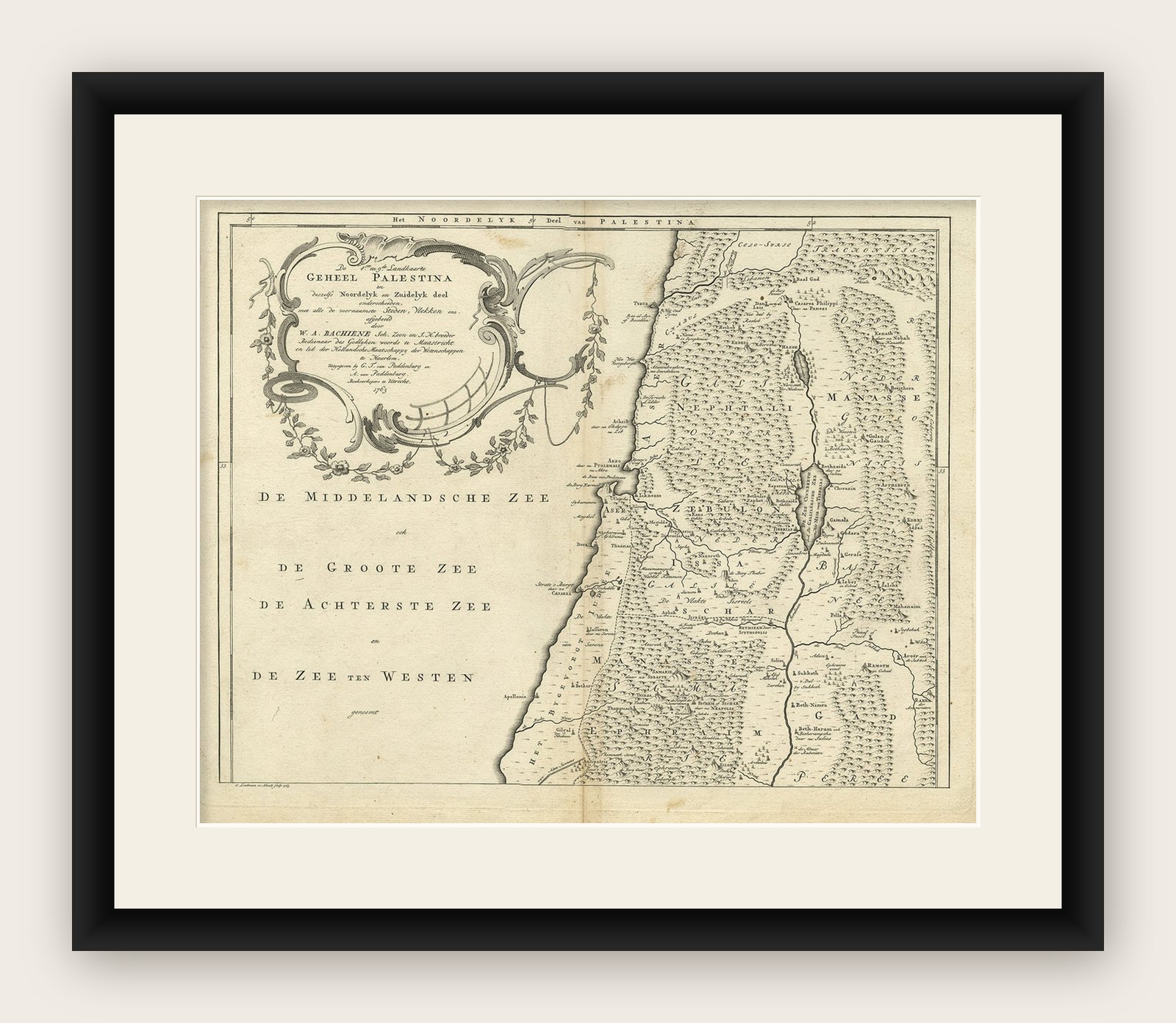
Framed and on the wall
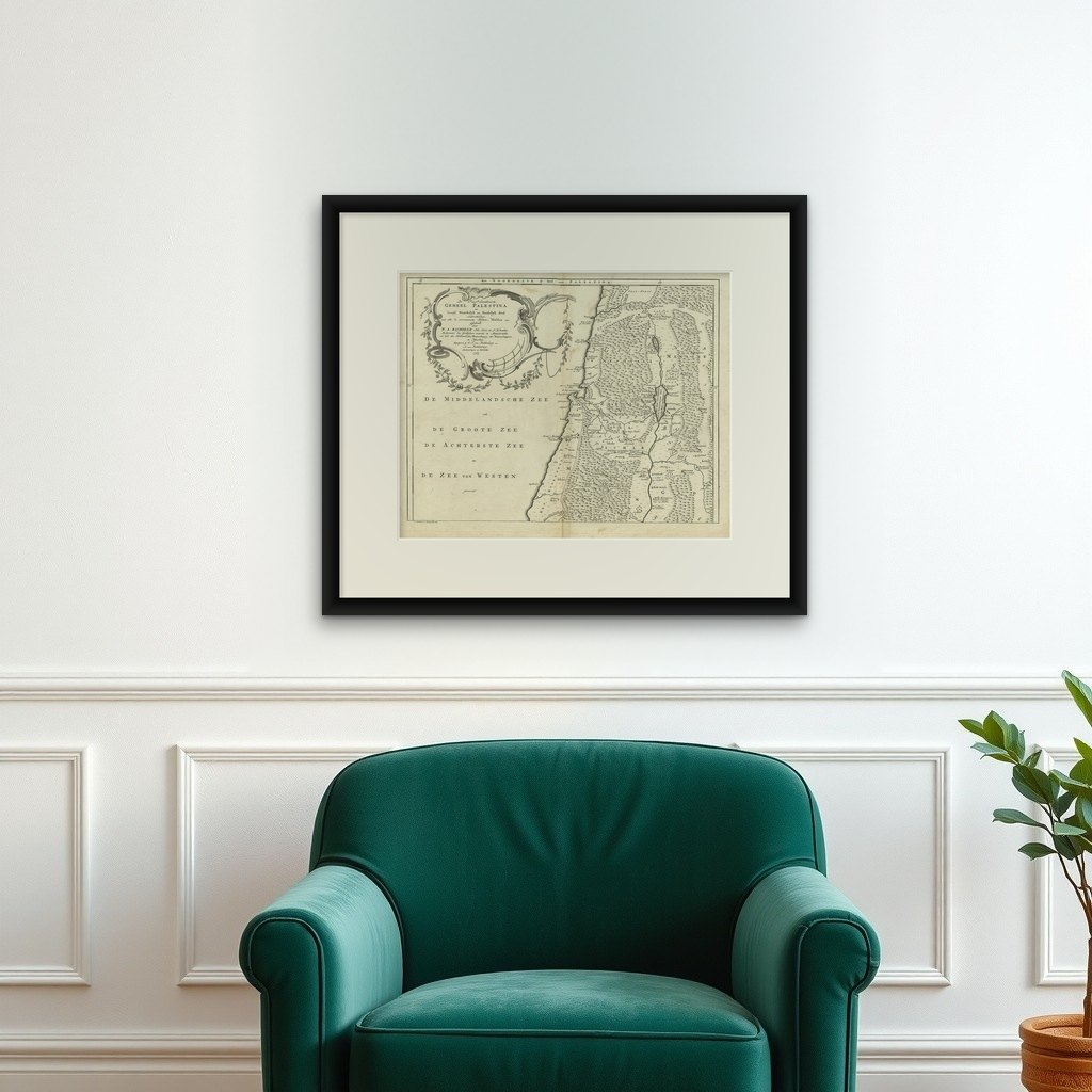

Frame and rooms are illustrations of how the print could look, drawn to its real size; it is sold unframed unless the description says otherwise.
The Holy Land
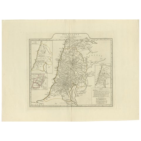
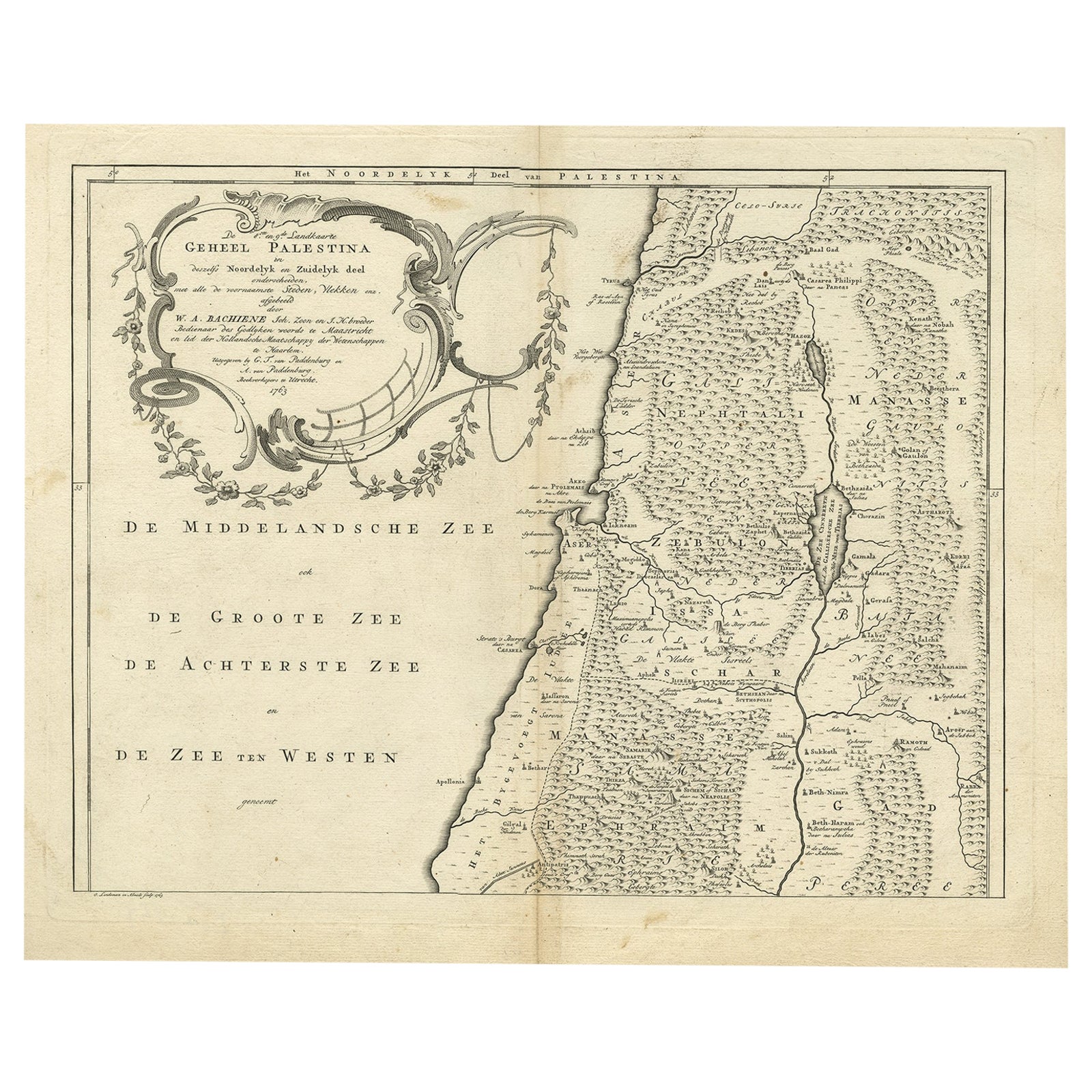
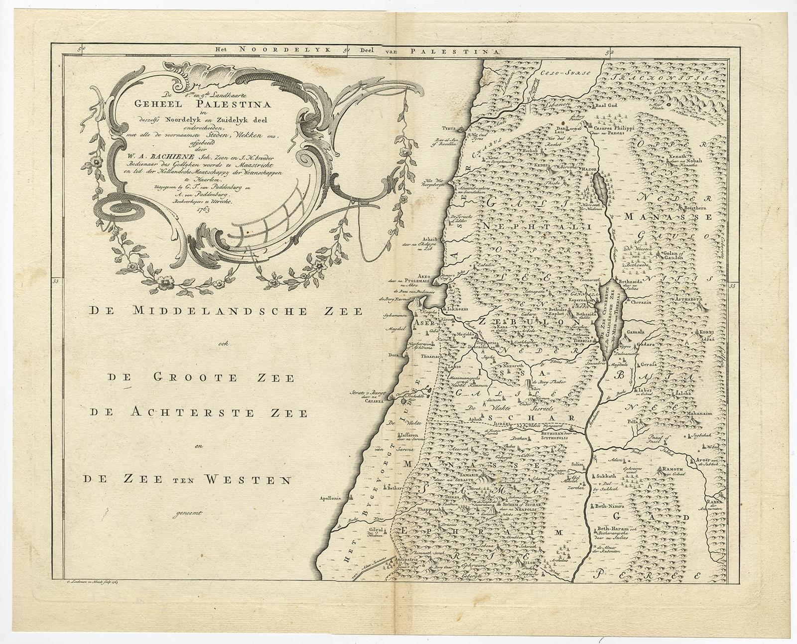
Antique Map of Northern Palestine with The Tribes of Israel. Dutch, 1763
Anno Domini MDCCLXIII1763
£355
$475 · €420
Original print, not a reproduction
Ships worldwide from the Netherlands, flat, insured and tracked. 14-day returns. To buy, use Ask a question (info@antiquesacredprints.com) and we will reserve it for you.
- Date
- 1763
- Sheet size
- 15.4 × 19.1 in (39.1 × 48.5 cm)
- Condition
- Good. Condition report: Good condition with a strong impression. Light toning and minor age-related spots, mostly in margins and folding line. Central fold as issued. Plate mark visible.
- Faith
- Christianity, Judaism
- Collection
- The Holy Land
- Era
- 1700 to 1799, Mortier, Picart and the illustrated Bible
- Stock no.
- f_46409032
Antique Map of Northern Palestine with Tribal Divisions, Bachiene, 1763
The cartouche bears the title: “’t Noordelyke Gedeelte van het Geheel Palestina Benevens het Noordelyk en Zuidelyk deel van de Overjordaanse Landen der twaalf stammen Israëls”, translated as “The Northern Part of the Whole of Palestine, together with the Northern and Southern part of the lands beyond the Jordan of the twelve tribes of Israel.”
This detailed 18th-century engraved map shows the northern section of biblical Palestine and the tribal allotments of Israel. Prepared for W\.A. Bachiene’s Historische en Geographische Beschryving van het Oude en Nieuwe Testament, published in the Netherlands around 1763, the map was engraved by F. de Lindeman. It is part of a series of biblical maps designed to illustrate the geography of the Holy Land in relation to the Scriptures.
The map highlights the tribal territories of Asher, Naphtali, Zebulon, Issachar, and Manasseh, among others. The Sea of Galilee (Meer van Genezareth) is clearly shown, as well as rivers, mountains, and numerous biblical towns and regions. The left portion of the sheet is filled with the Mediterranean Sea, labeled in Dutch as De Middelandsche Zee, De Groote Zee, or De Achterste Zee. The map is framed with a neatline and features a decorative rococo-style cartouche adorned with floral garlands and scrolls.
Bachiene (1712 to 1783), a Dutch Protestant theologian and geographer, produced these maps to accompany his historical and geographical commentary on the Bible. They were intended as visual aids for both scholarly and religious audiences, combining biblical study with Enlightenment-era cartography. The engravings by Lindeman are valued for their clarity, precision, and decorative style, making them sought after by collectors of maps of the Holy Land and Judaica.
Condition report: Good condition with a strong impression. Light toning and minor age-related spots, mostly in margins and folding line. Central fold as issued. Plate mark visible.
Framing tips: This map is well suited to a simple black or dark wood frame with a cream mat, emphasizing the engraved lines and aged paper. A gold-toned frame with a soft off-white mat would enhance the rococo cartouche and lend a more formal presentation.
Technique: Engraving
Maker: F. de Lindeman (engraver), W\.A. Bachiene (author), Netherlands, c.1763