36.5 cm · 14.4 in
46.5 cm · 18.3 in
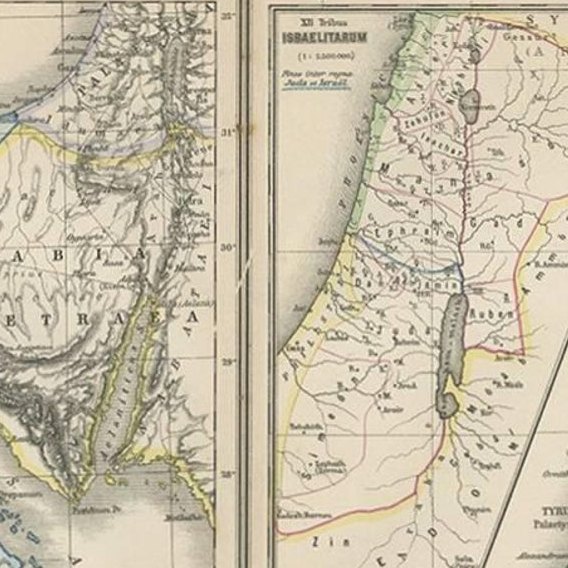
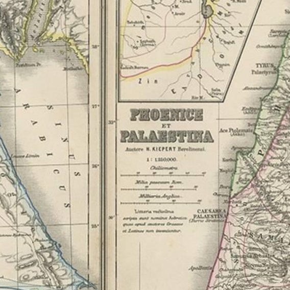
Close-ups
Framed and on the wall


Frame and rooms are illustrations of how the print could look, drawn to its real size; it is sold unframed unless the description says otherwise.
The Holy Land
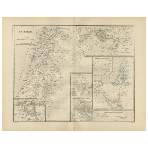
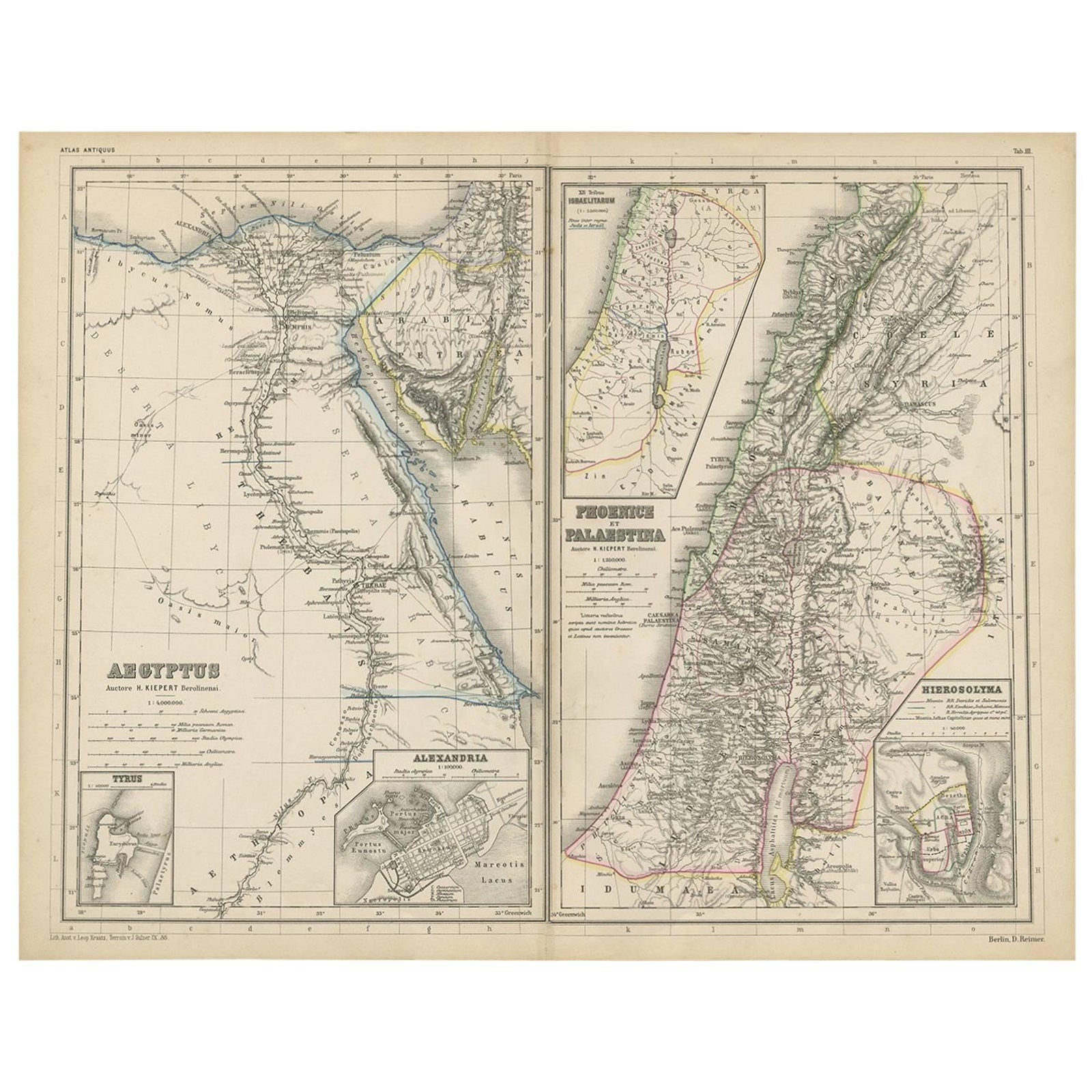
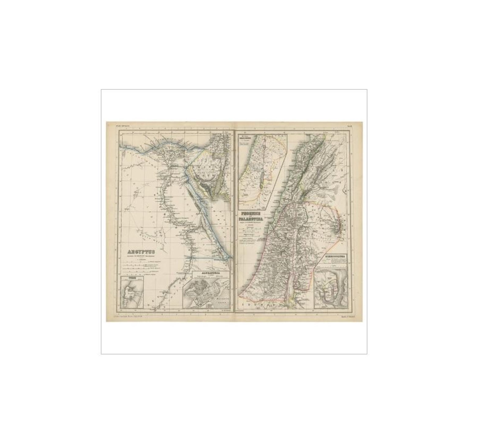
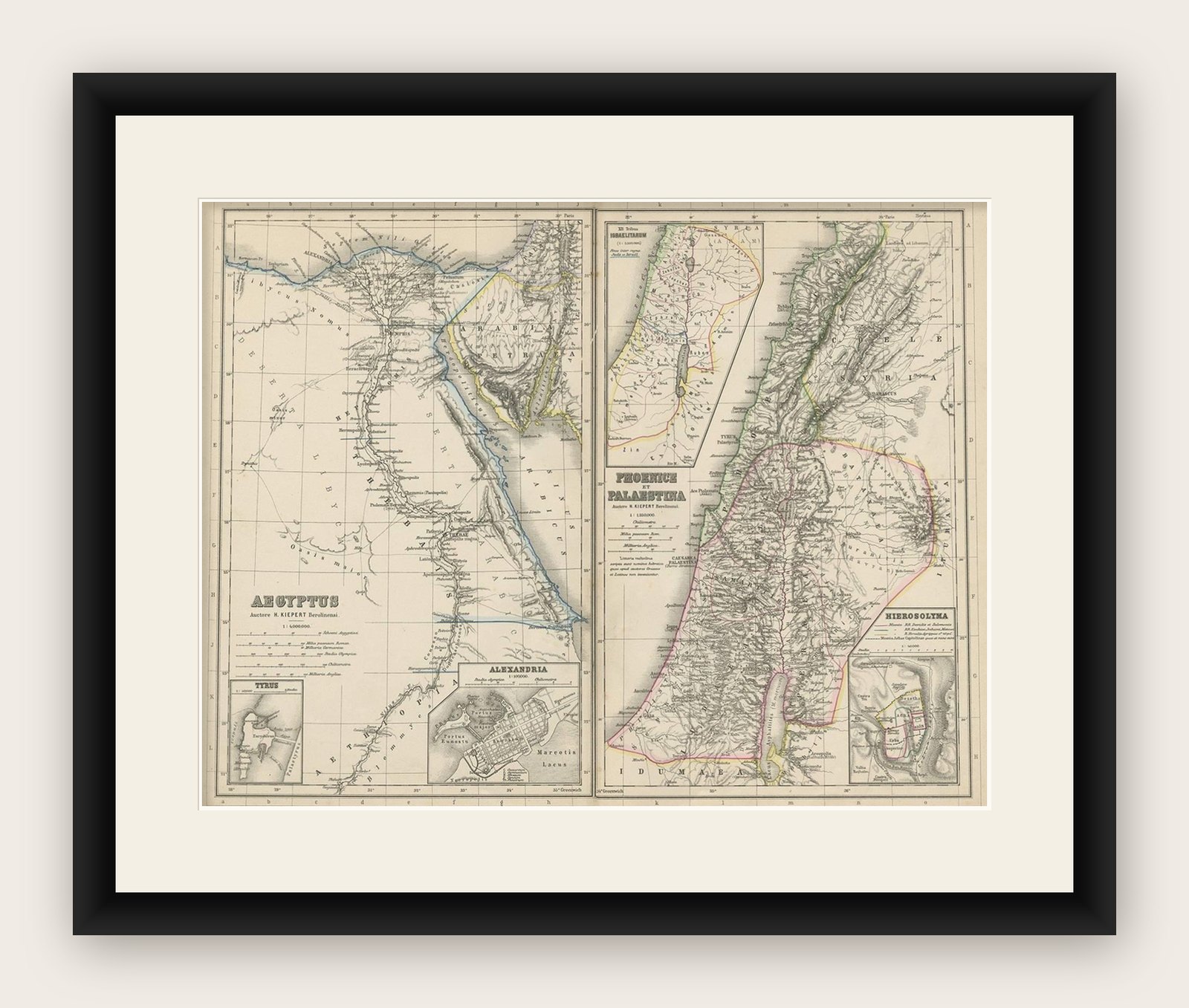
Antique Map of Egypt and Palestina by H. Kiepert, circa 1870
Anno Domini MDCCCLXX1870
£120
$160 · €144
Original print, not a reproduction
Ships worldwide from the Netherlands, flat, insured and tracked. 14-day returns. To buy, use Ask a question (info@antiquesacredprints.com) and we will reserve it for you.
- Date
- 1870
- Sheet size
- 14.4 × 18.3 in (36.5 × 46.5 cm)
- Condition
- Good. General age-related toning. Please study image carefully.
- Faith
- Christianity, Judaism
- Collection
- The Holy Land
- Era
- 1850 and after, Chromolithographs and devotional prints
- Stock no.
- f_11018691
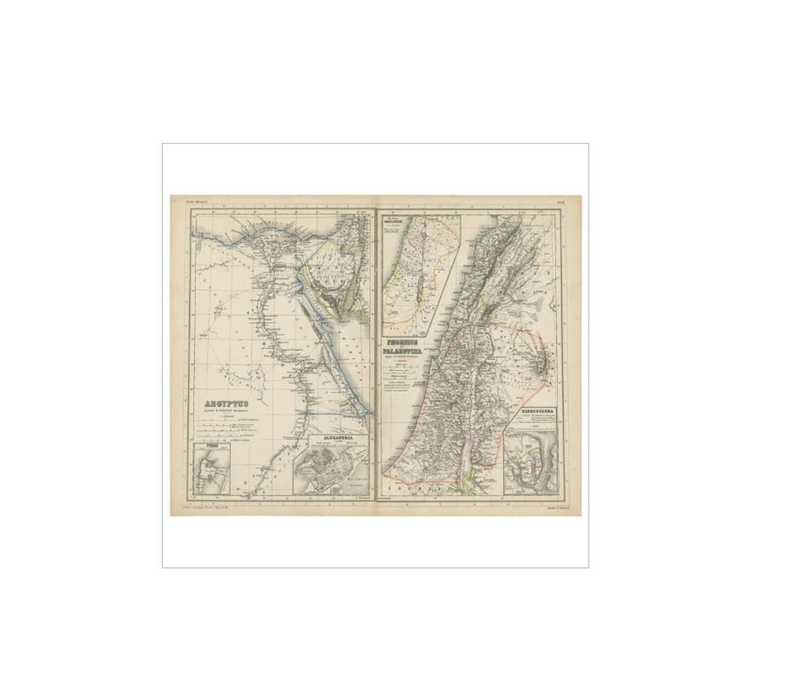
Antique map titled 'Aegyptus, Phoenice et Palestina'. With inset maps of Tyrus, Alexandria and Hierosolyma. This map originates from 'Atlas Antiquus. Zwölf Karten zur Alten Geschichte' by H. Kiepert. Published in Berlin, circa 1870.
Explore