Close-ups
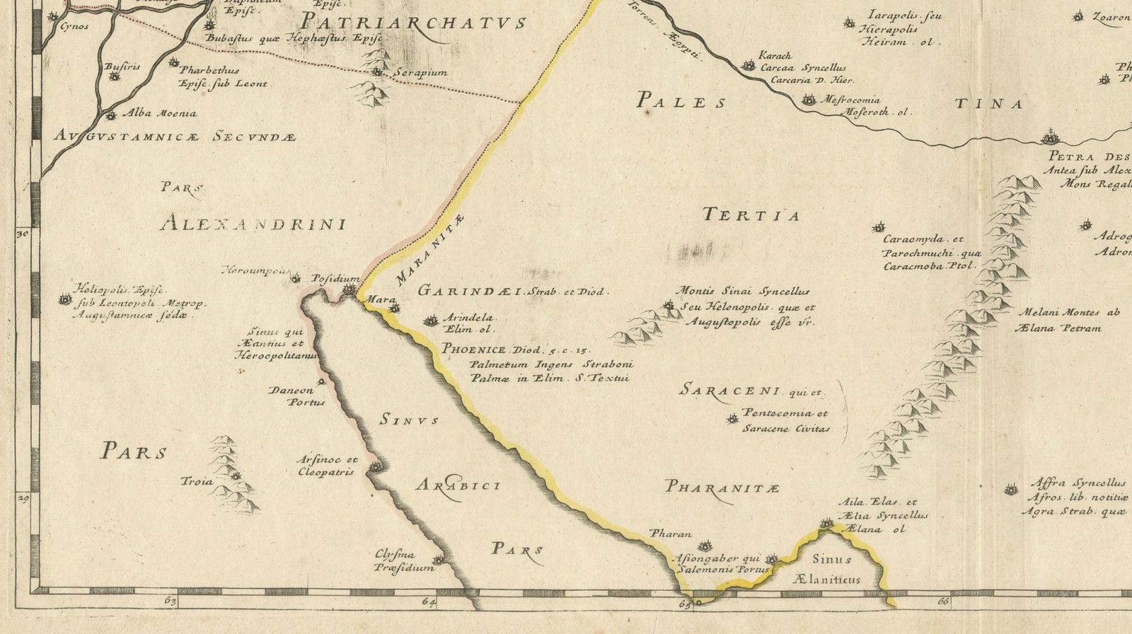
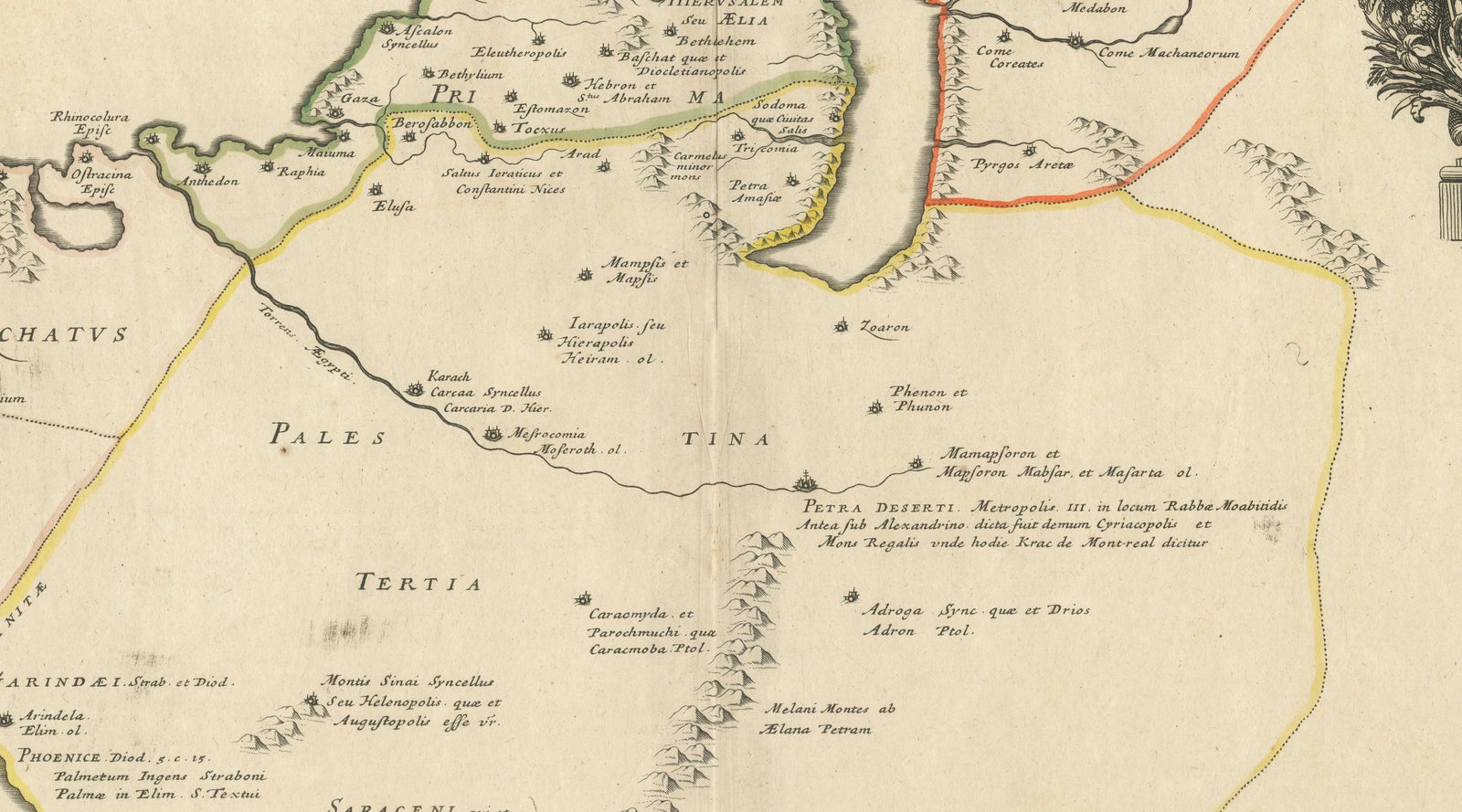
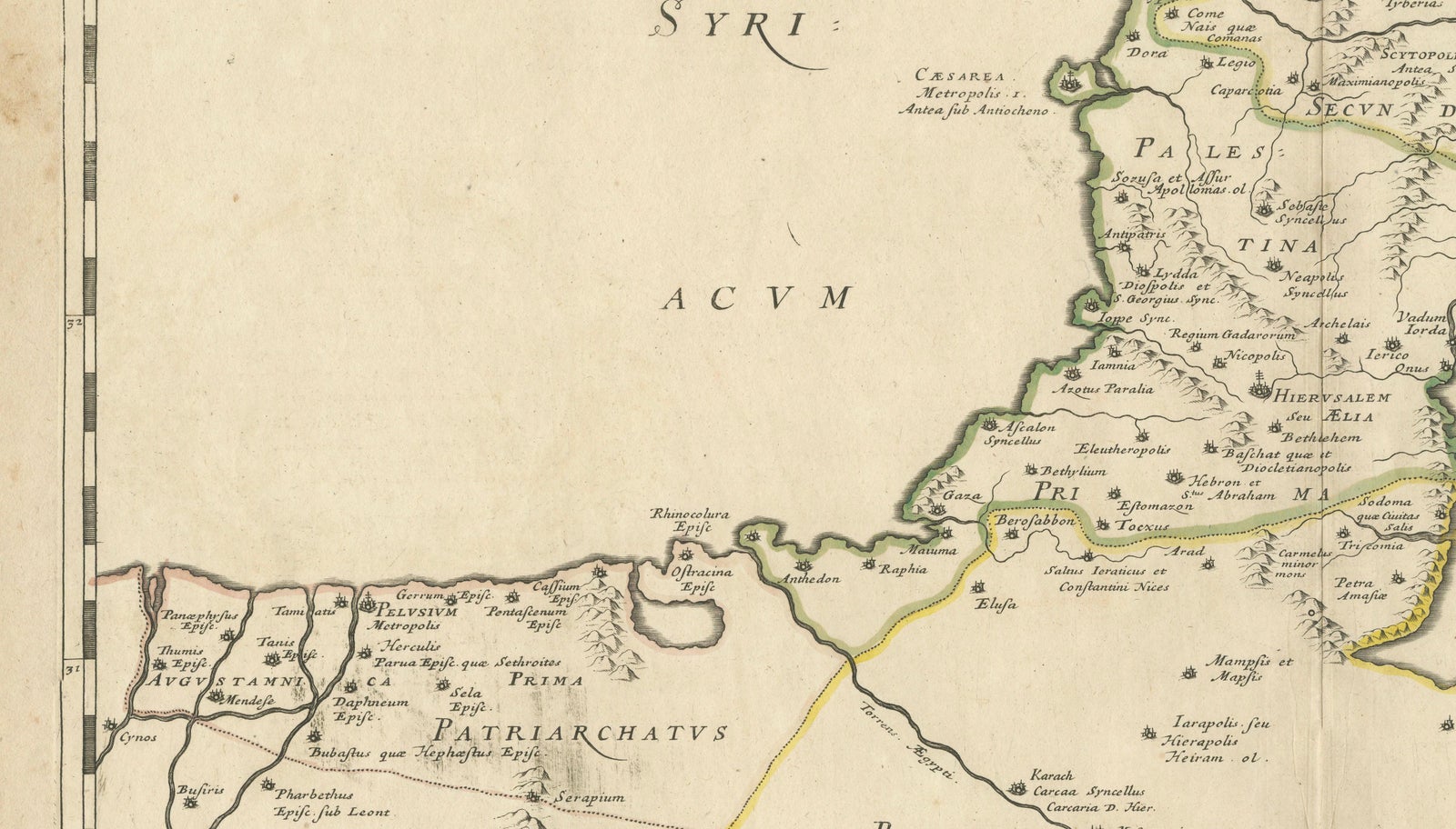
Framed and on the wall
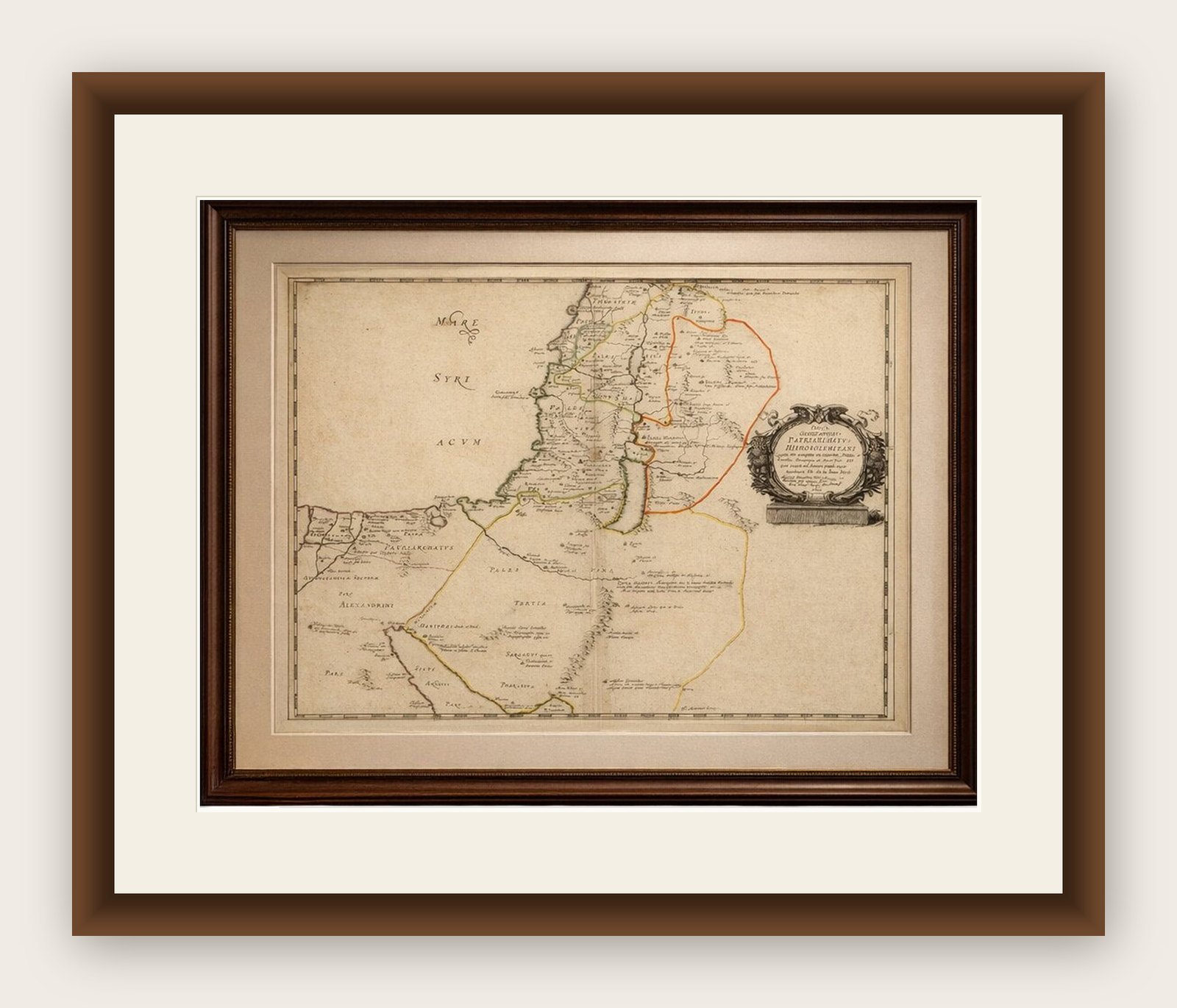
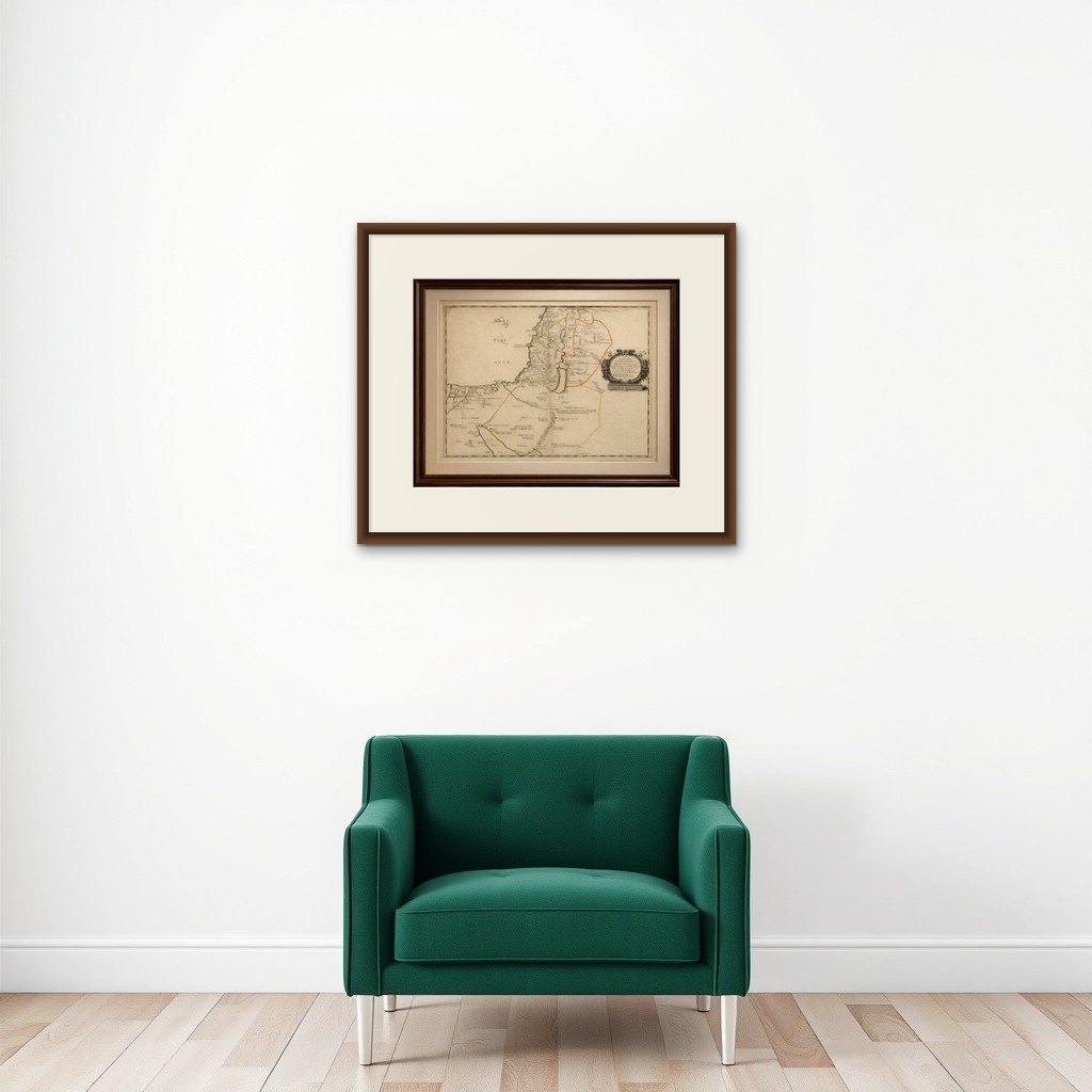

Frame and rooms are illustrations of how the print could look, drawn to its real size; it is sold unframed unless the description says otherwise.
The Holy Land
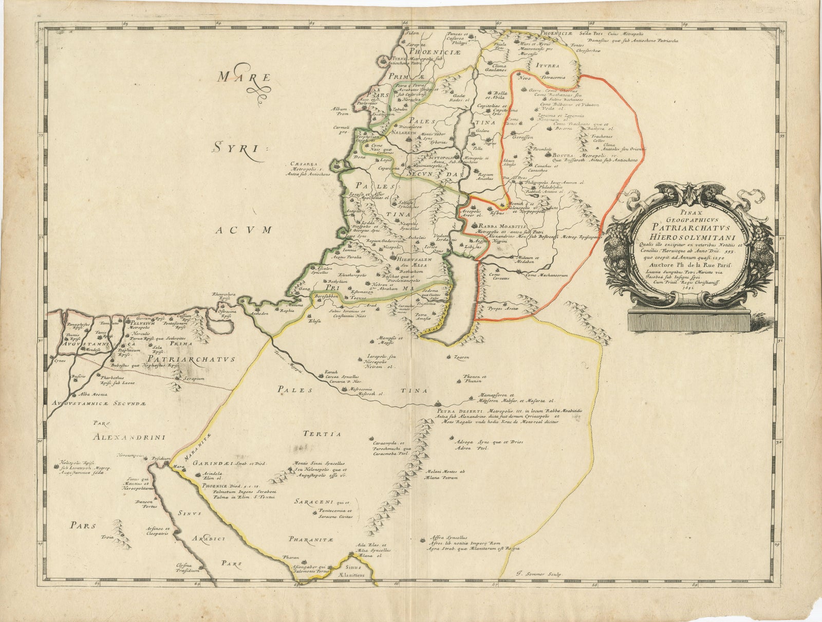
Antique Map Holy Land & Jerusalem, Patriarchatus Hierosolymitani, c1652
Anno Domini MDCLII1652
£325
$430 · €380
Original print, not a reproduction
Ships worldwide from the Netherlands, flat, insured and tracked. 14-day returns. To buy, use Ask a question (info@antiquesacredprints.com) and we will reserve it for you.
- Date
- 1652
- Sheet size
- 17.6 × 23.2 in (44.7 × 59 cm)
- Condition
- Good. Overall with age toning consistent with period paper, central fold as issued, minor handling wear and light surface marks. Margins generally good; hand coloring well preserved.
- Faith
- Christianity, Judaism
- Collection
- The Holy Land
- Era
- Before 1700, Woodcuts and the great atlases
- Stock no.
- f_48744922
Antique Map Holy Land & Jerusalem, Patriarchatus Hierosolymitani, c1652
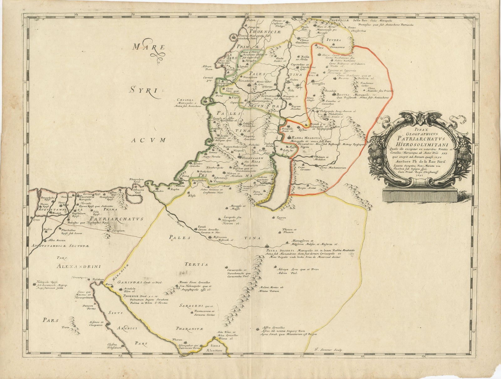
A finely engraved mid-17th century map of the Holy Land centered on Jerusalem and the Patriarchatus Hierosolymitani, published in Paris in 1652 and attributed to Philippe de la Rue. This historically rich cartographic work reflects early modern European efforts to reconstruct biblical geography through classical sources, church history, and scriptural interpretation.
The map is offered unframed, giving flexibility to select a frame that best suits the intended interior.
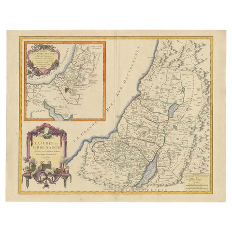
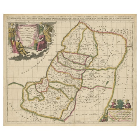
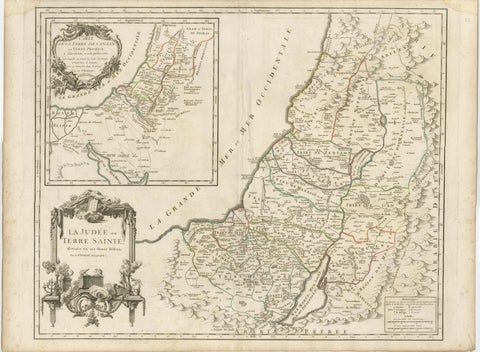
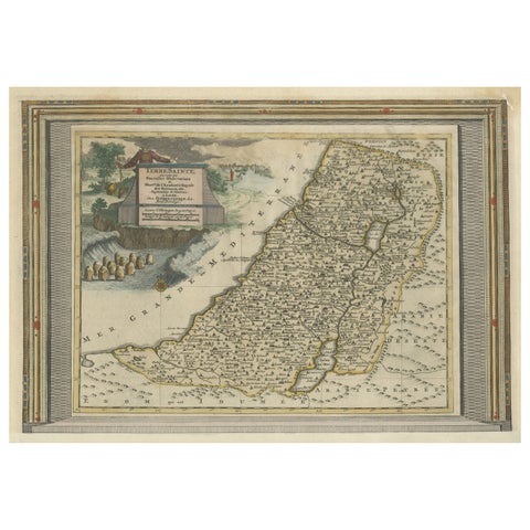
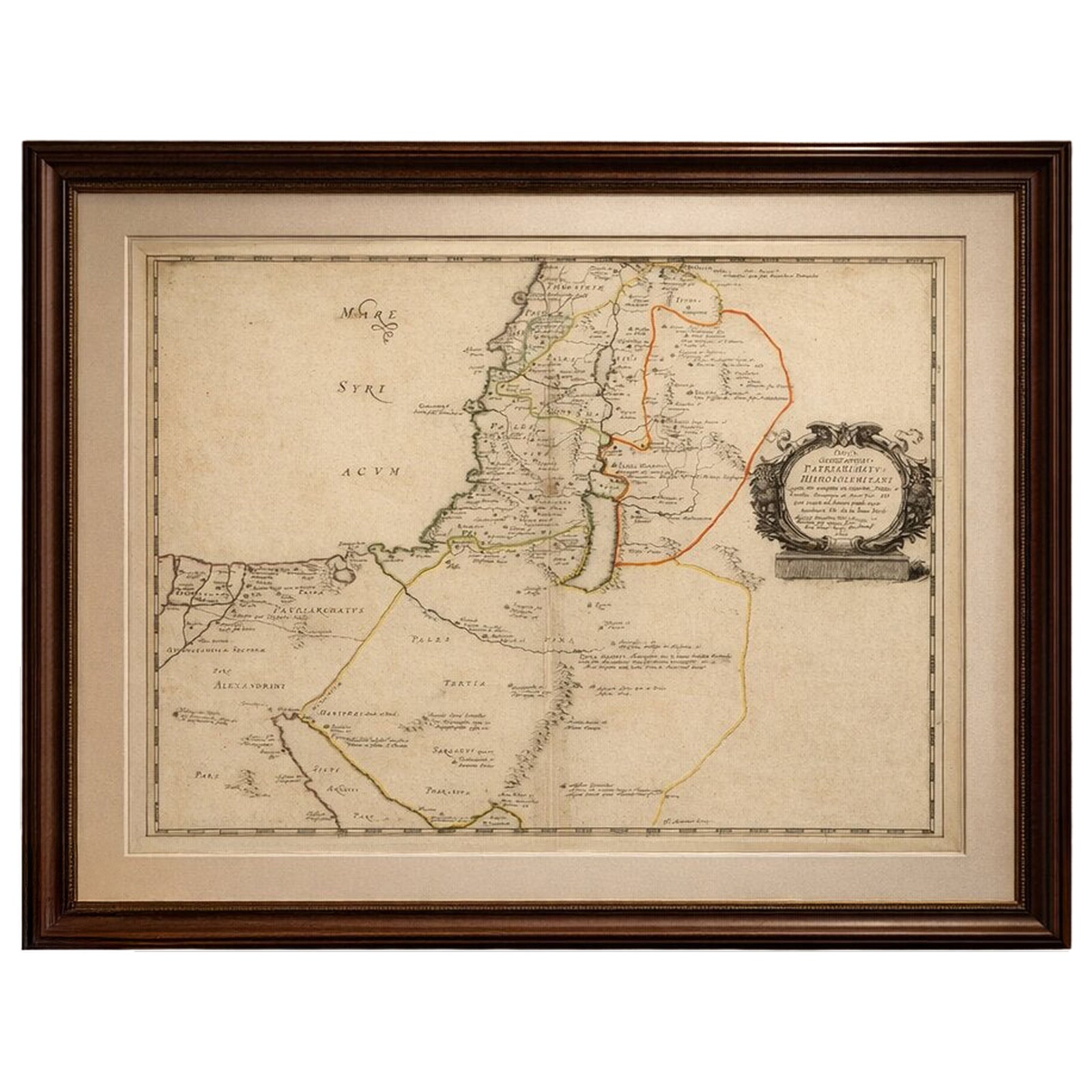
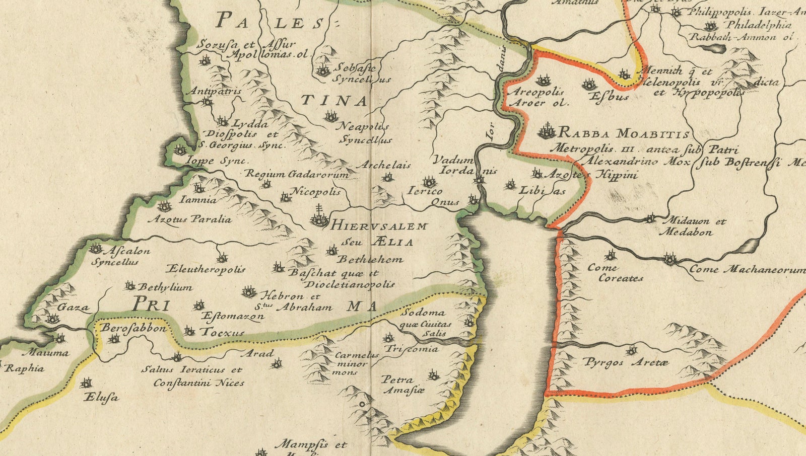
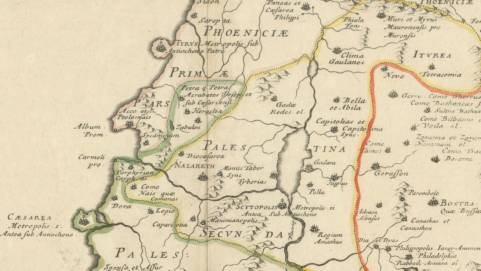
The map depicts the sacred geography of Palestine and surrounding regions, extending from Phoenicia and Syria southward through Judea to the Sinai Peninsula and Egypt. Major biblical and historical sites are carefully identified, including Jerusalem (Hierusalem seu Aelia), Bethlehem, Nazareth, Gaza, Jericho, and numerous ancient cities associated with early Christianity and the Old Testament. Regional divisions are delineated with subtle hand coloring, highlighting ecclesiastical jurisdictions and historical territorial boundaries.
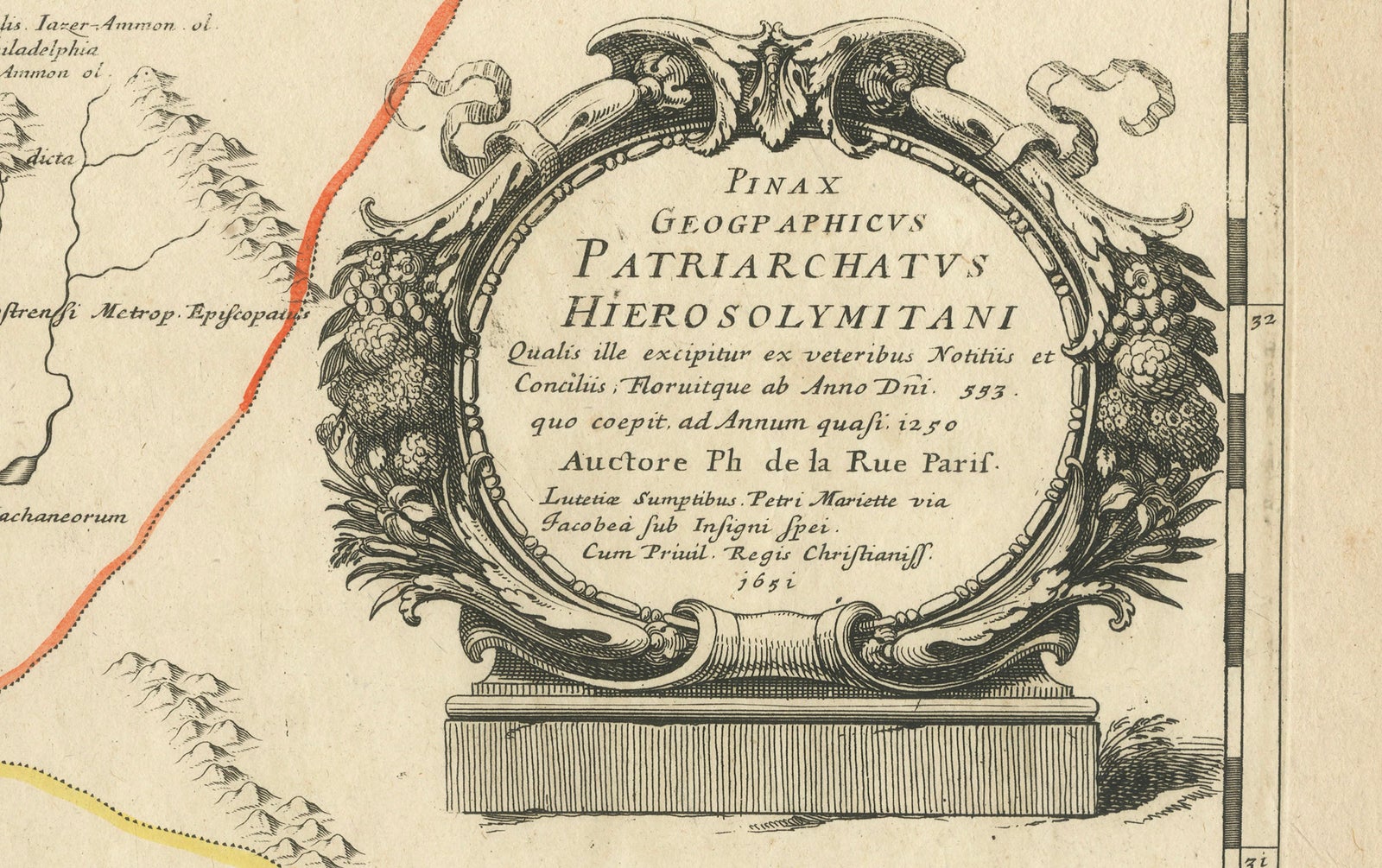
The engraving demonstrates the scholarly cartographic tradition of 17th-century Paris, combining classical geographic knowledge with theological interpretation. Decorative restraint emphasizes clarity and intellectual authority, while the elaborate title cartouche on the right provides a refined visual anchor characteristic of French Baroque engraving. The cartographic content draws on ancient sources and ecclesiastical geography, presenting a visual synthesis of sacred history rather than strictly contemporary geography.
Such early Holy Land maps were produced for scholars, clergy, and collectors interested in biblical history, pilgrimage traditions, and sacred topography. Today they remain highly sought after by collectors of early cartography, biblical maps, and historical representations of the Middle East, valued both for their scholarly significance and decorative presence.
Condition: Good overall with age toning consistent with period paper, central fold as issued, minor handling wear and light surface marks. Margins generally good; hand coloring well preserved.
Framing tips: Particularly effective in a dark walnut or black frame with warm ivory matting to emphasize the historic hand coloring and engraved linework. Works well as a focal decorative piece in both classical and contemporary interiors.
Technique: Copperplate engraving
Maker: Philippe de la Rue, Paris, 1652
Keyword block: antique Holy Land map, Jerusalem map 17th century, Patriarchatus Hierosolymitani, Philippe de la Rue map, biblical geography map, Palestine antique map, sacred geography engraving, Jerusalem antique cartography, 1652 map Holy Land, early French cartography, biblical atlas map, Judea Samaria map, Sinai Peninsula antique map, Phoenicia Syria map, ecclesiastical geography map, antique Middle East engraving
Explore