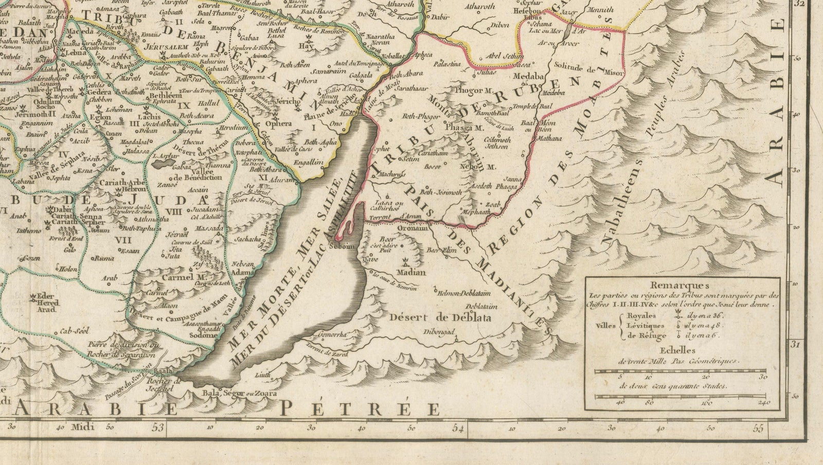
Close-ups
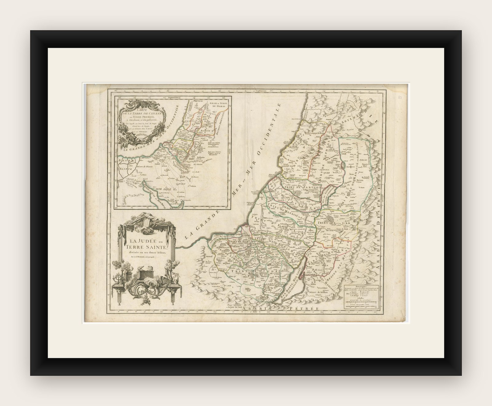
Framed and on the wall

Frame and rooms are illustrations of how the print could look, drawn to its real size; it is sold unframed unless the description says otherwise.
The Holy Land
Antique French Map of the Holy Land, Twelve Tribes of Israel, c.1750
Anno Domini MDCCL1750
€1,100
$1,240 · £935
Original print, not a reproduction
Ships worldwide from the Netherlands, flat, insured and tracked. 14-day returns. To buy, use Ask a question (info@antiquesacredprints.com) and we will reserve it for you.
- Date
- 1750
- Sheet size
- 20.1 × 26.8 in (51 × 68 cm)
- Condition
- Good. Good antique condition. Original central fold as issued. Light age toning and minor handling marks consistent with 18th-century paper. No losses or major defects. Overall well-preserved with strong clarity of engraving and color.
- Faith
- Christianity, Judaism
- Collection
- The Holy Land
- Era
- 1700 to 1799, Mortier, Picart and the illustrated Bible
- Stock no.
- f_48066812
Antique Holy Land Map, Twelve Tribes of Israel, Robert de Vaugondy, c.1750
Description
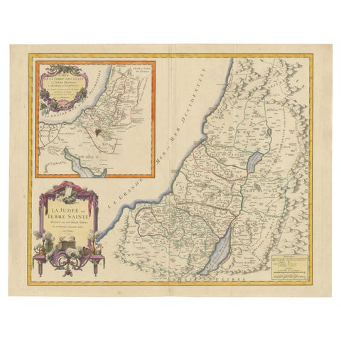
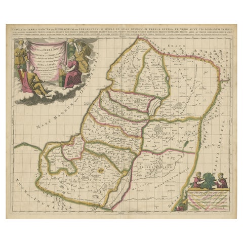
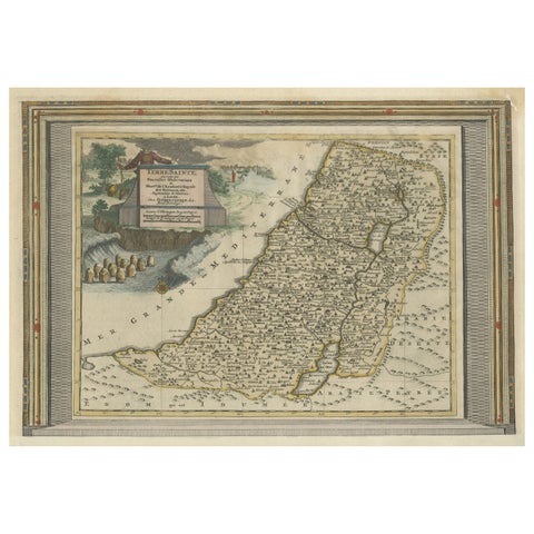
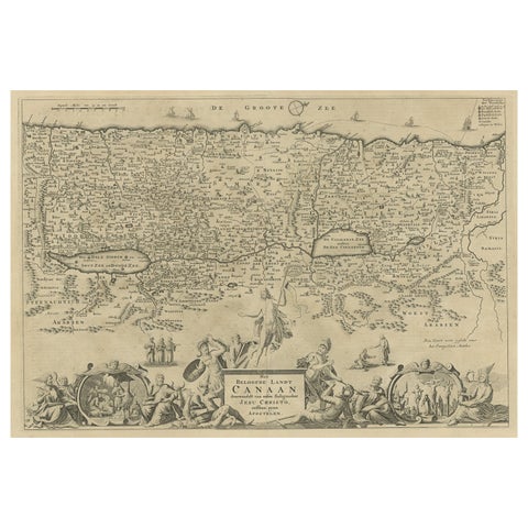
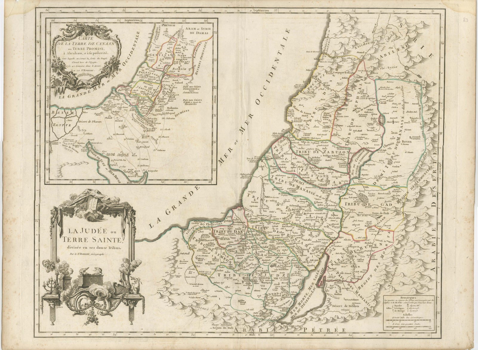
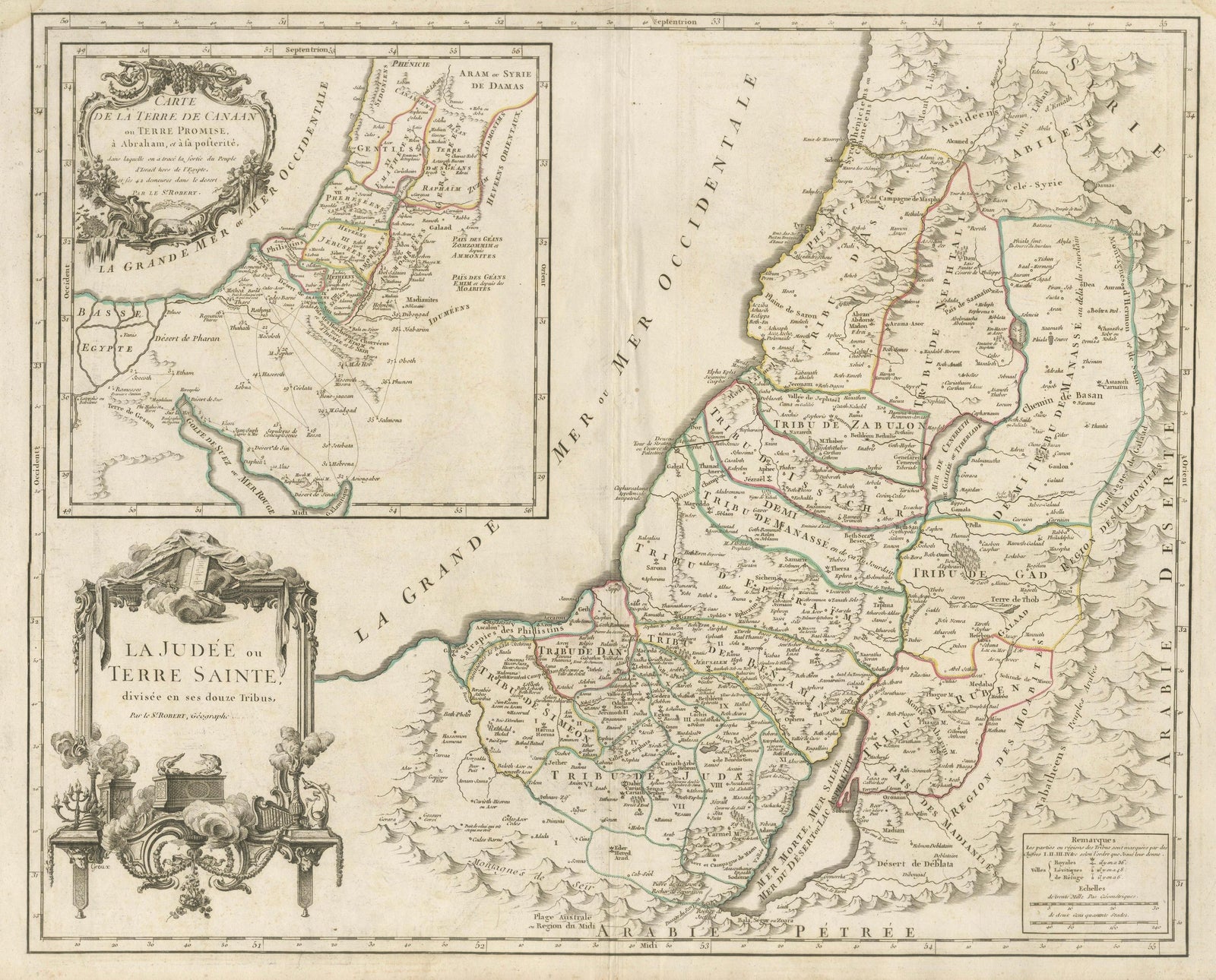
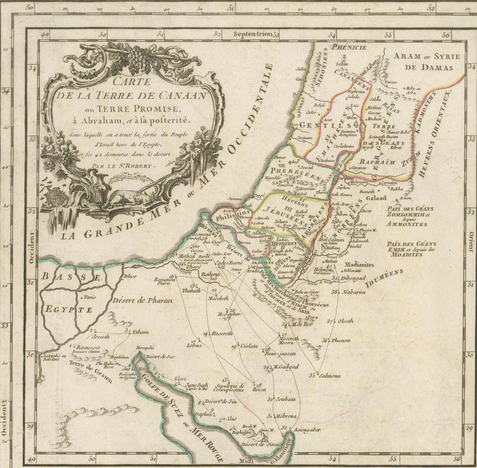
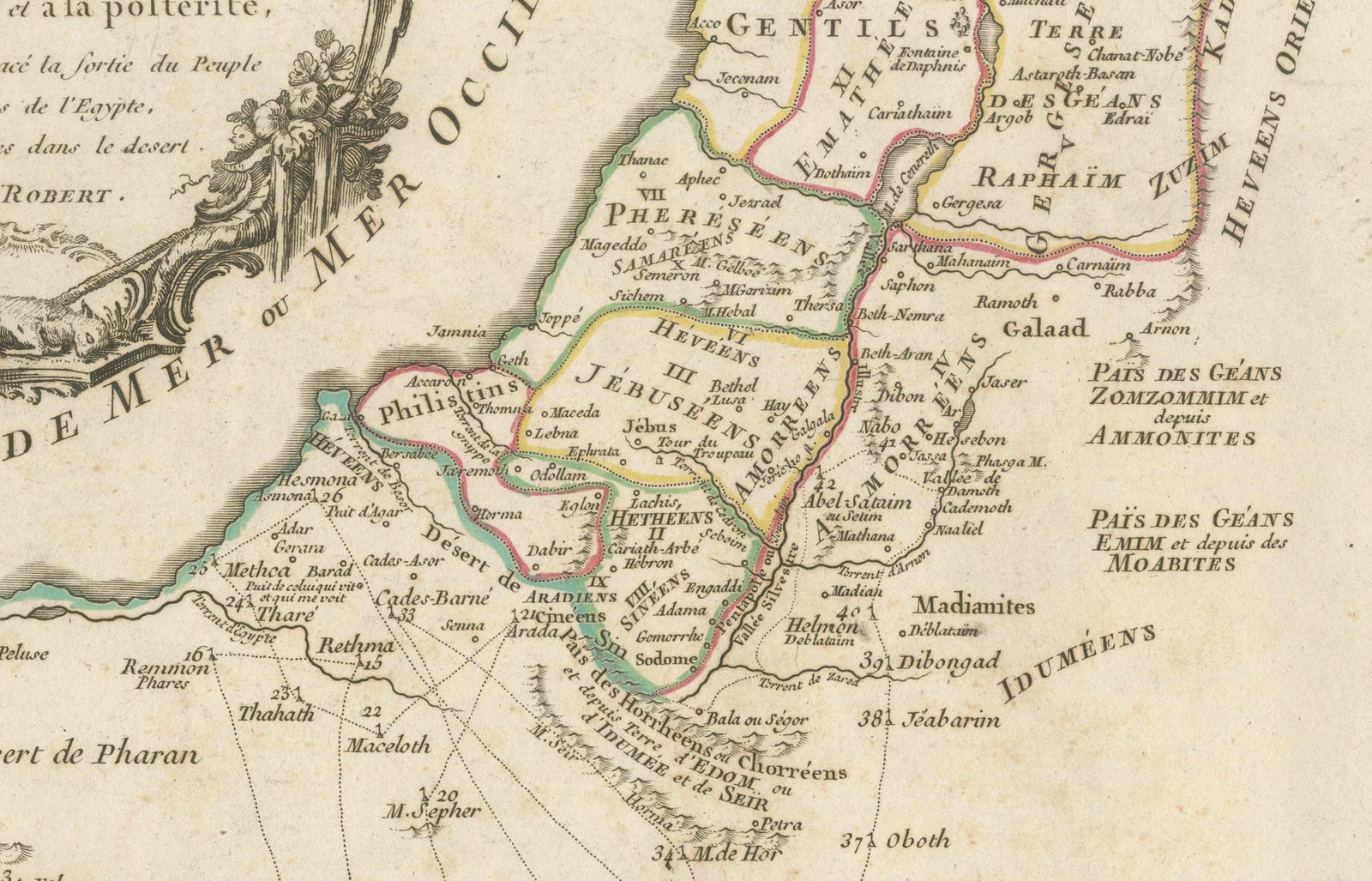
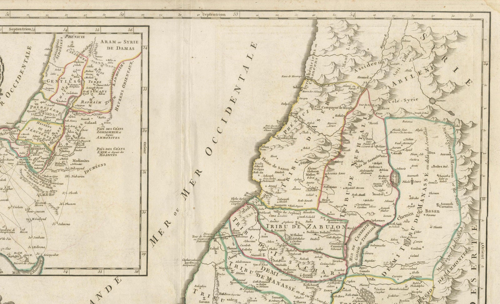
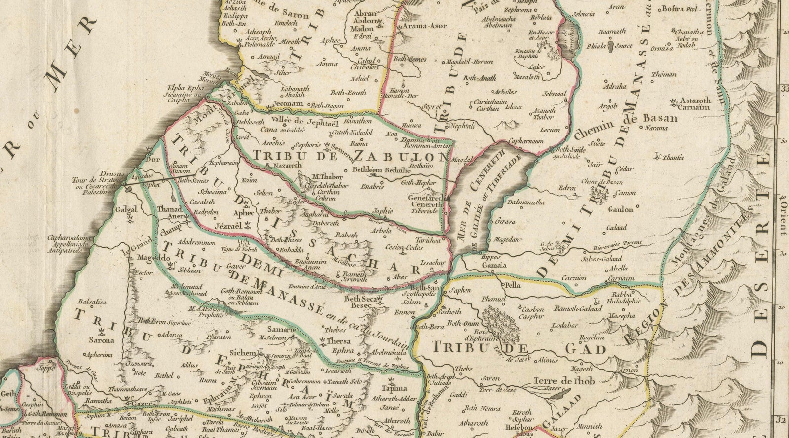
This finely engraved and hand-colored map depicts Judea, or the Holy Land, divided according to the Twelve Tribes of Israel, each territory carefully delineated with colored boundaries and identified by name. The composition reflects the scholarly French cartographic tradition of the mid-18th century, combining biblical geography with contemporary geographic knowledge in a visually balanced and highly legible format.
The map was produced in Paris around 1750 by Robert de Vaugondy, one of the most respected mapmakers of the Enlightenment period. Vaugondy’s work is known for its precision, clarity, and elegant ornamentation, qualities that made his maps popular with scholars, collectors, and institutions throughout Europe.
An inset map in the upper left shows Canaan, or the Promised Land, extending into Phoenicia and Syria, with the northeastern reaches of Egypt also indicated. Geographic features such as coastlines, rivers, mountain ranges, deserts, and settlements are carefully rendered, while the Mediterranean Sea and surrounding regions are clearly labeled. The decorative cartouche adds refinement without overwhelming the map’s academic character, making it equally suitable for a study, library, or refined interior.
Maps of the Holy Land from this period remain highly sought after for their historical, religious, and decorative significance. This example offers a particularly appealing balance of scholarship and visual presence, with strong original hand coloring enhancing both the tribal divisions and the overall composition.
Condition report
Good antique condition. Original central fold as issued. Light age toning and minor handling marks consistent with 18th-century paper. No losses or major defects. Overall well-preserved with strong clarity of engraving and color.
Framing tips
This map presents beautifully with a muted walnut or dark ebonized frame paired with an off-white or parchment mat. For a more traditional look, an antique gold frame with a narrow profile will subtly echo the cartouche while maintaining a refined, scholarly appearance.
Technique: Engraving with original hand color
Maker: Robert de Vaugondy, Paris, circa 1750