Close-ups
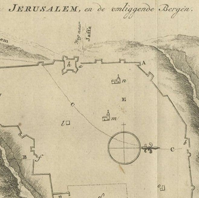
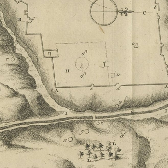
Framed and on the wall
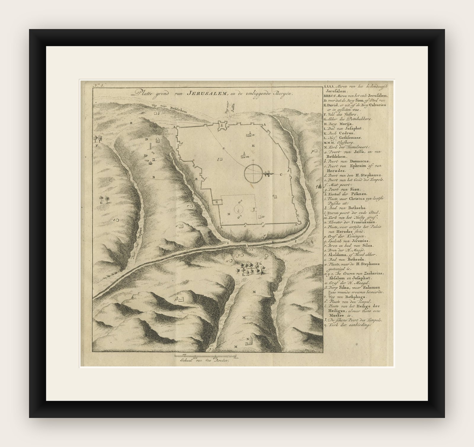


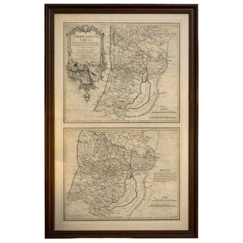
Frame and rooms are illustrations of how the print could look, drawn to its real size; it is sold unframed unless the description says otherwise.
The Holy Land
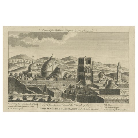
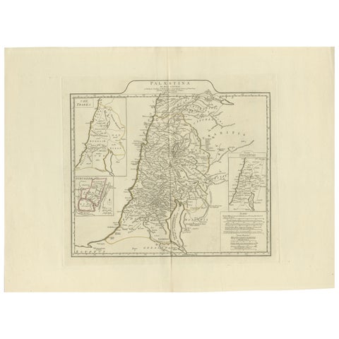
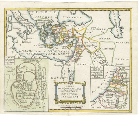
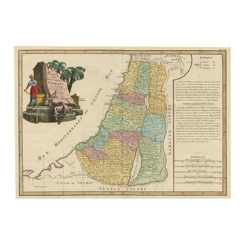
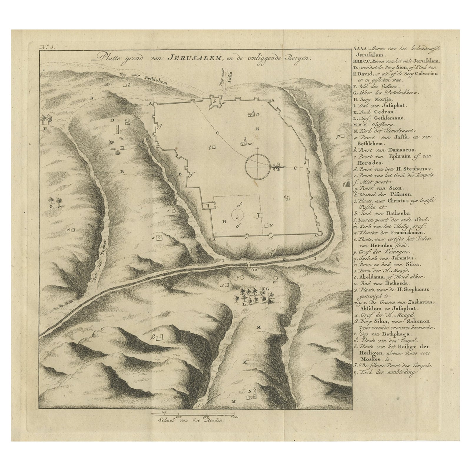
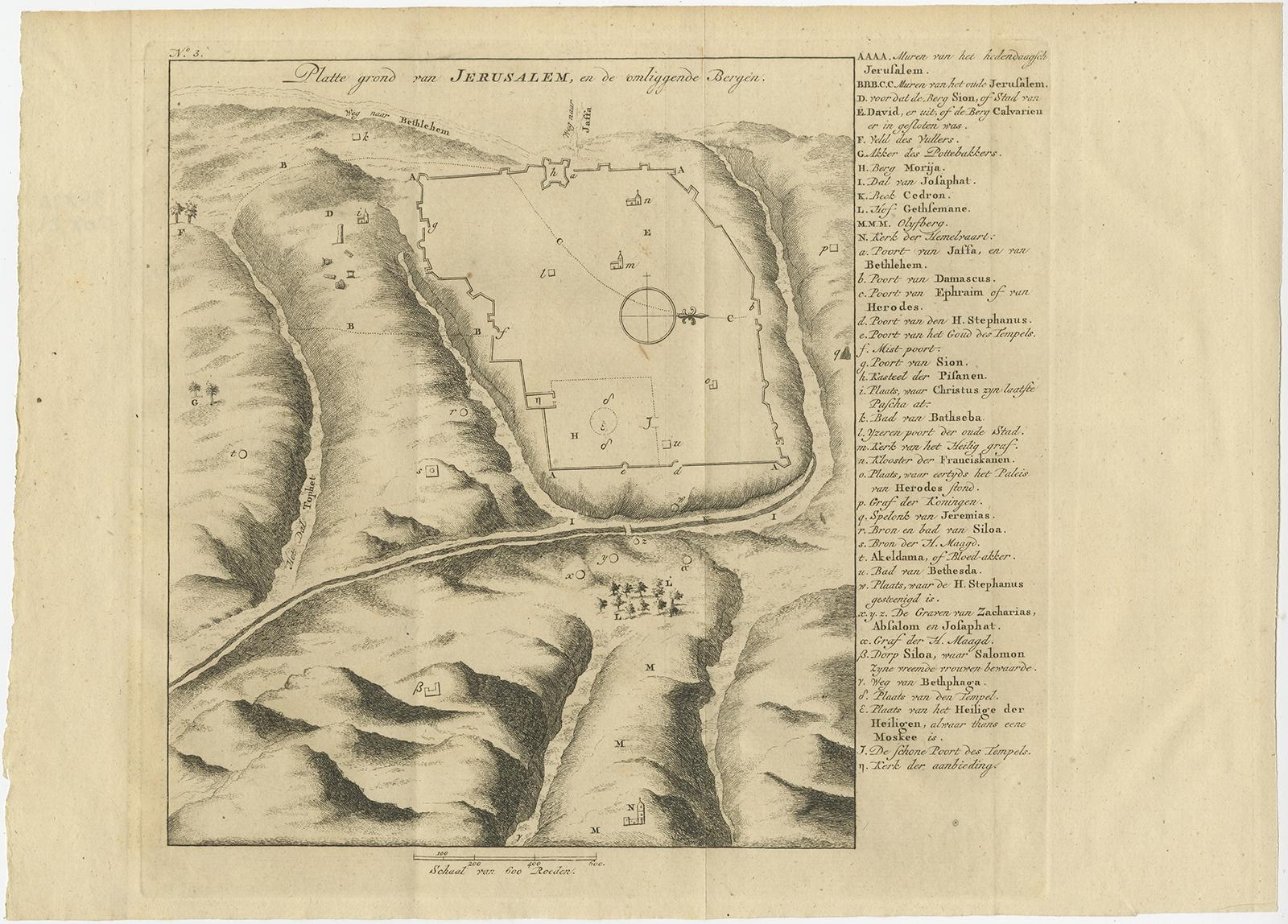
Antique Engraving of a Map or Plan of Jerusalem and Surrounding Mountains, 1773
Anno Domini MDCCLXXIII1773
€270
$305 · £230
Original print, not a reproduction
Ships worldwide from the Netherlands, flat, insured and tracked. 14-day returns. To buy, use Ask a question (info@antiquesacredprints.com) and we will reserve it for you.
- Date
- 1773
- Sheet size
- 14.2 × 10.2 in (36 × 26 cm)
- Condition
- Good
- Faith
- Christianity, Judaism
- Collection
- The Holy Land
- Era
- 1700 to 1799, Mortier, Picart and the illustrated Bible
- Stock no.
- f_26397542
Antique map titled 'Platte grond van Jerusalem, en de omliggende Bergen'. Plan of the city of Jerusalem, with surrounding mountains. Originates from the first Dutch editon of an interesting travel account of Northern Africa titled 'Reizen en Aanmerkingen door en over Barbaryen en het Ooste'. Artists and Engravers: Author: T. Shaw. Translated by P. Boddaert and published by J. van Schoonhoven.
Artist: Author: T. Shaw. Translated by P. Boddaert and published by J. van Schoonhoven.
Condition: Very good, general age-related toning. Blank verso, please study image carefully.
Date: 1773
Overall size: 36 x 26 cm.
Image size: 20 x 23 cm.
Explore