Close-ups
Framed and on the wall
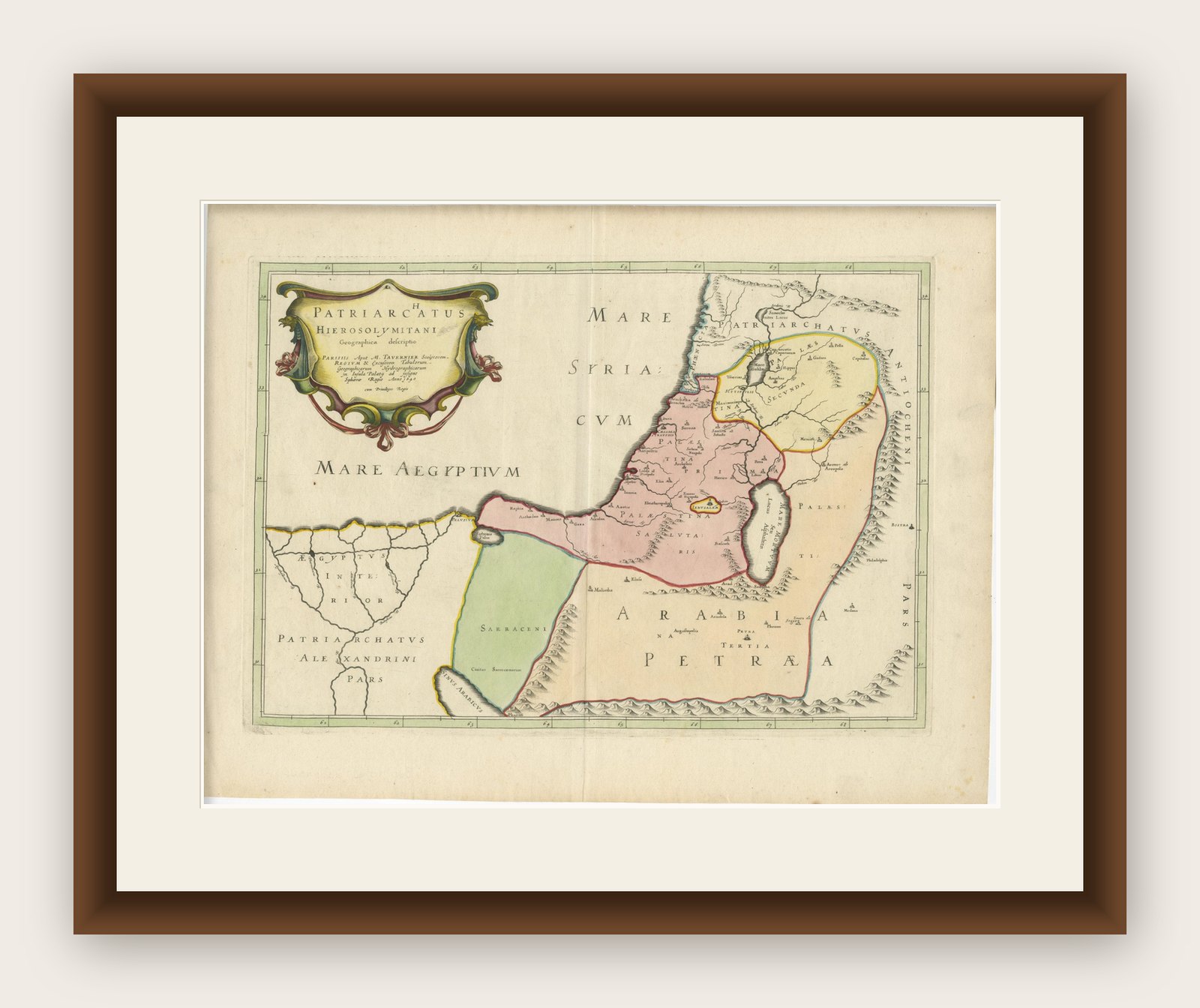

Frame and rooms are illustrations of how the print could look, drawn to its real size; it is sold unframed unless the description says otherwise.
The Holy Land
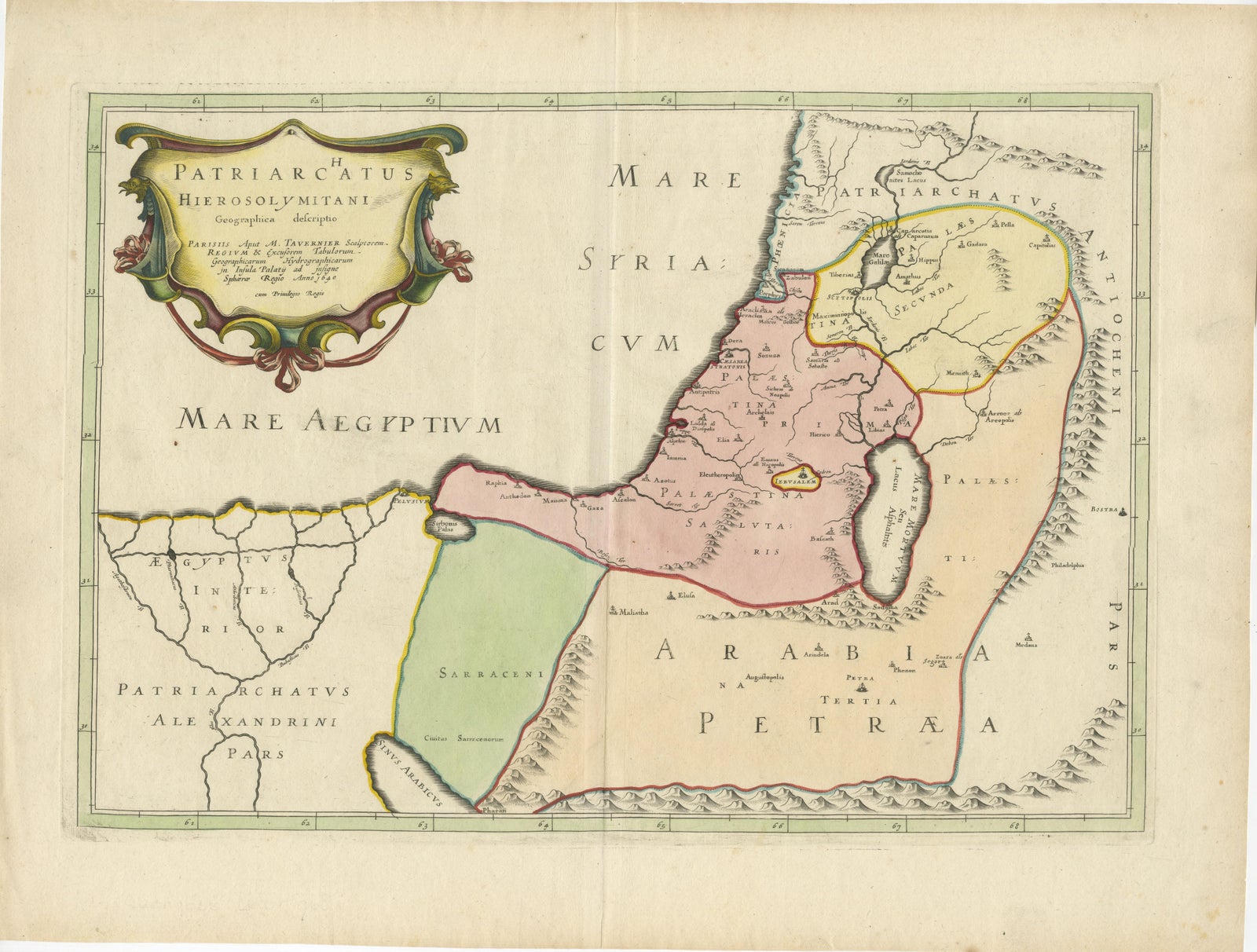
17th-Century Map of the Latin Patriarchate of Jerusalem by Melchior Tavernier
£610
$805 · €720
Original print, not a reproduction
Ships worldwide from the Netherlands, flat, insured and tracked. 14-day returns. To buy, use Ask a question (info@antiquesacredprints.com) and we will reserve it for you.
- Date
- Not stated
- Sheet size
- 17.3 × 22.8 in (44 × 58 cm)
- Condition
- Good. Condition report: The map is in excellent condition, with clear engraving and vibrant original hand-coloring. Minor toning and slight foxing are visible in the margins, but they do not detract from the overall image. Folding line as issued.
- Faith
- Christianity, Judaism
- Collection
- The Holy Land
- Stock no.
- f_43394372
Title: 17th-Century Map of the Latin Patriarchate of Jerusalem by Melchior Tavernier
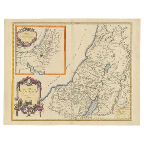
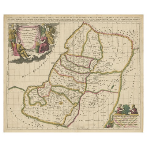
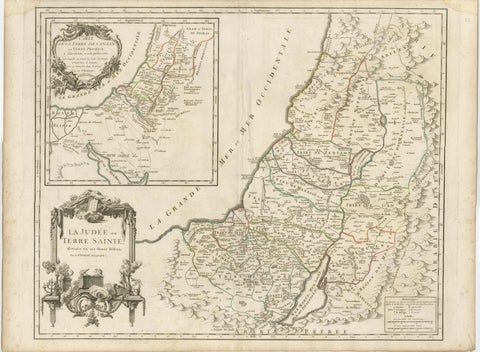
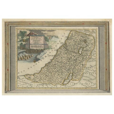
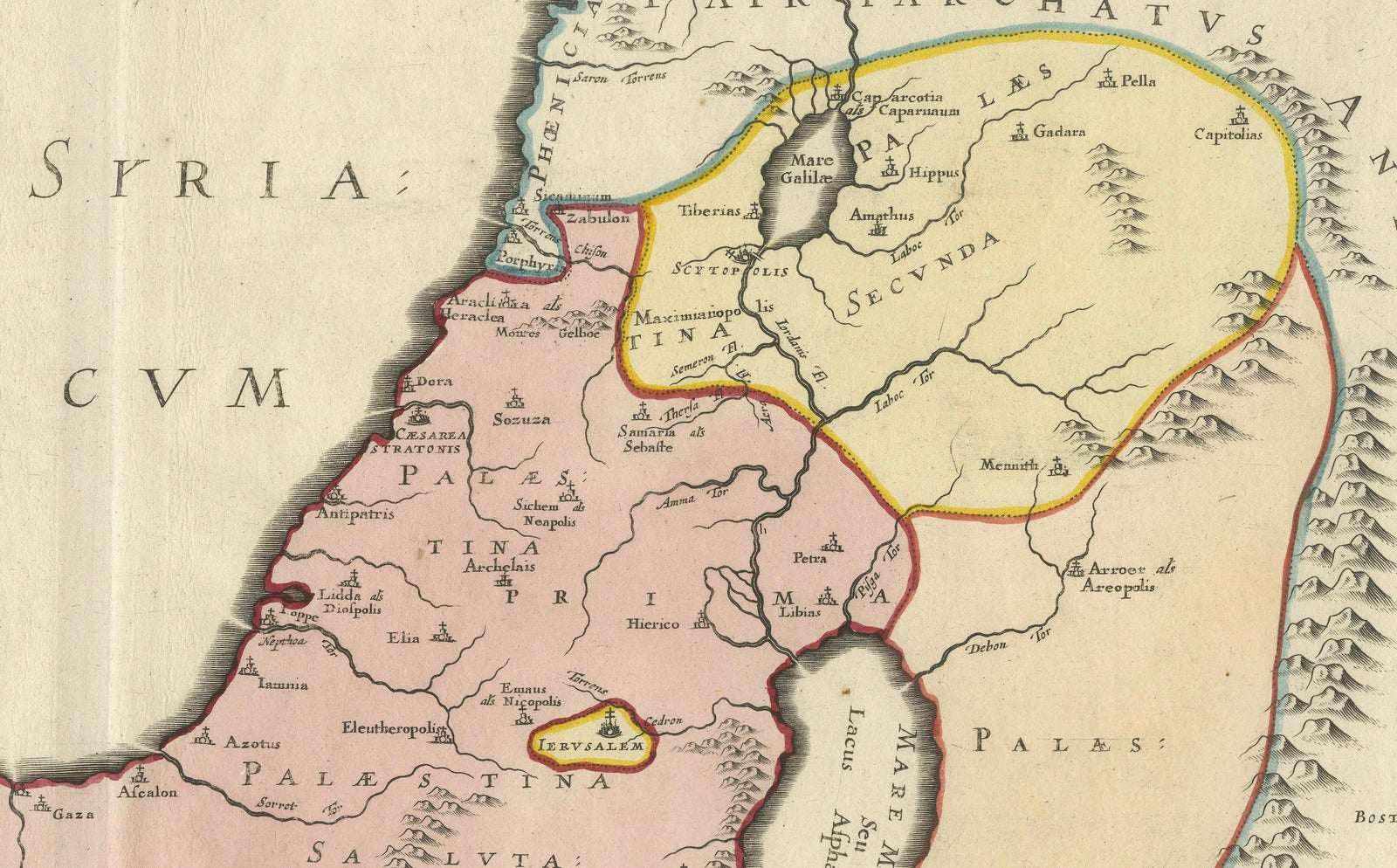
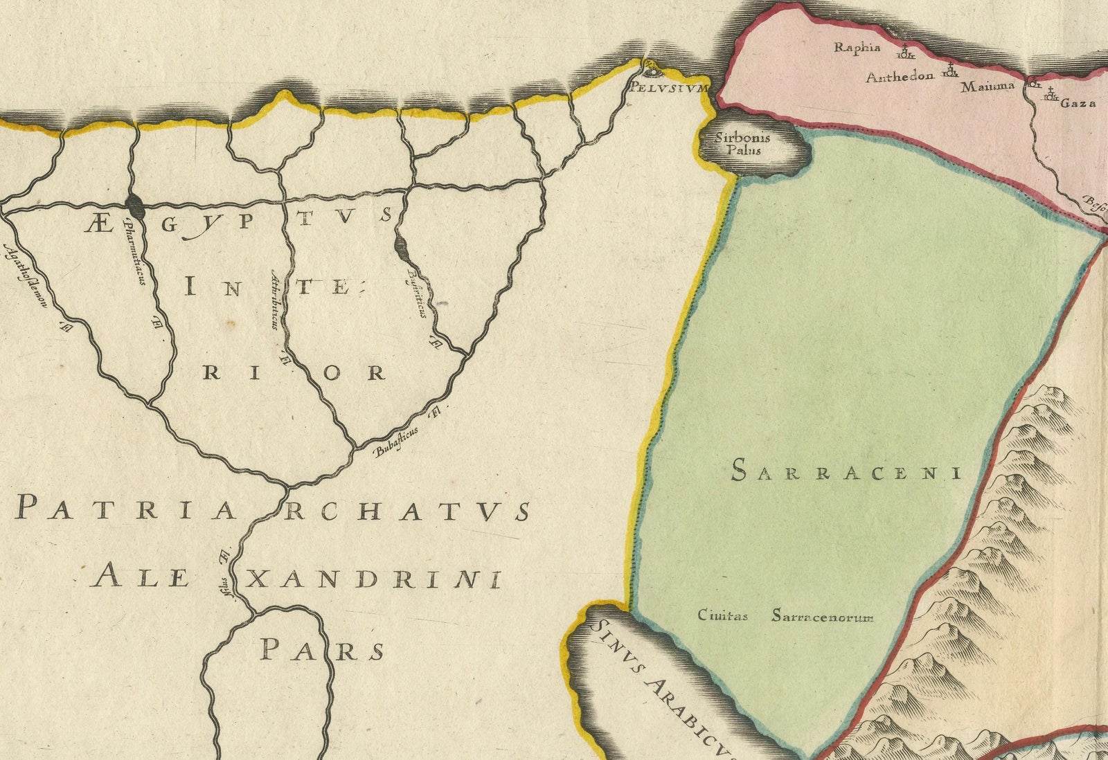
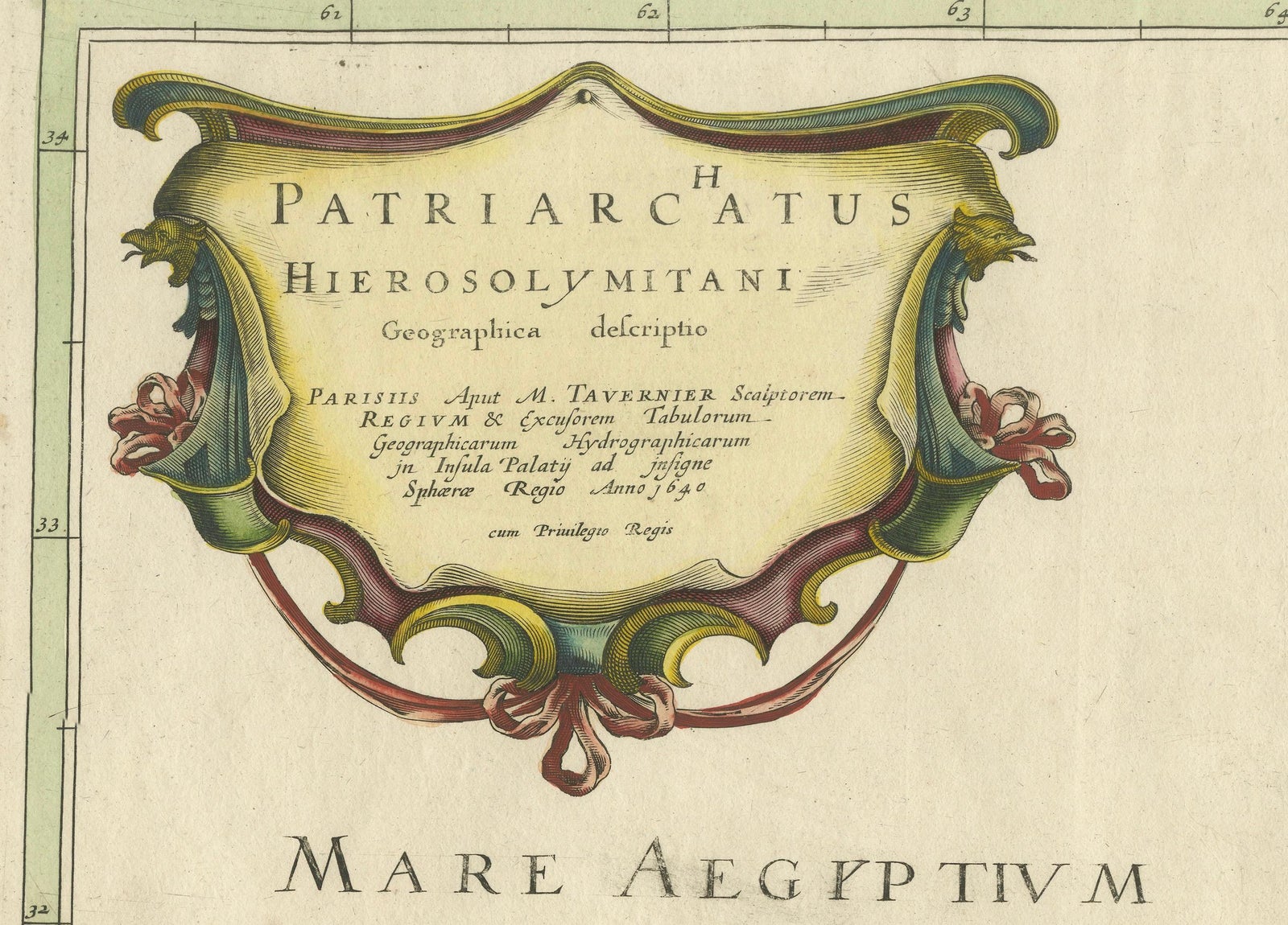
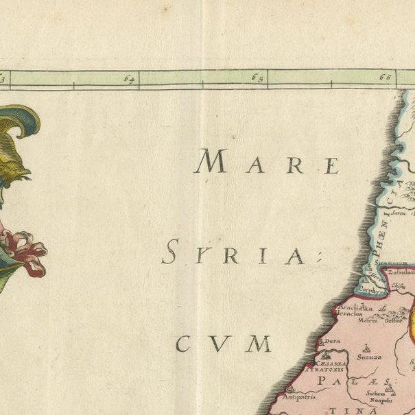
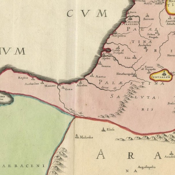
Description: This rare 17th-century map by Melchior Tavernier illustrates the geographical extent of the Latin Patriarchate of Jerusalem during the Crusader period. The map focuses on the Holy Land, with divisions representing the Patriarchate and its suffragan dioceses, including the archdioceses of Tyre, Caesarea, Nazareth, and Petra. Key biblical locations, such as Jerusalem, Bethlehem, Gaza, and Hebron, are meticulously detailed. The ornate cartouche reflects Tavernier’s artistic style, blending geographical accuracy with decorative elegance.
Historically, the Latin Patriarchate was established in 1099 after the Crusaders captured Jerusalem. It marked a significant ecclesiastical reorganization, with a Latin hierarchy replacing the Orthodox Patriarchate. This map captures the period's territorial divisions, reflecting the Crusader influence in the Holy Land.
Condition report: The map is in excellent condition, with clear engraving and vibrant original hand-coloring. Minor toning and slight foxing are visible in the margins, but they do not detract from the overall image.
Framing tip: Use archival-quality matting and UV-protective glass to preserve its condition. A dark wooden or gilded frame will highlight the map’s historic and decorative features, making it a standout piece in any collection or display.
This map is a remarkable artifact, combining Tavernier’s cartographic skill with the historical significance of the Crusader period in the Holy Land. A valuable addition for collectors of early cartography or religious history.
Explore