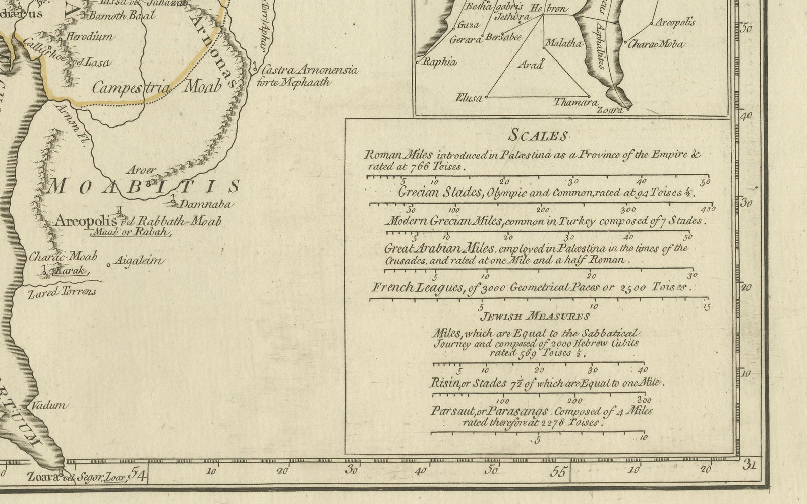
Close-ups
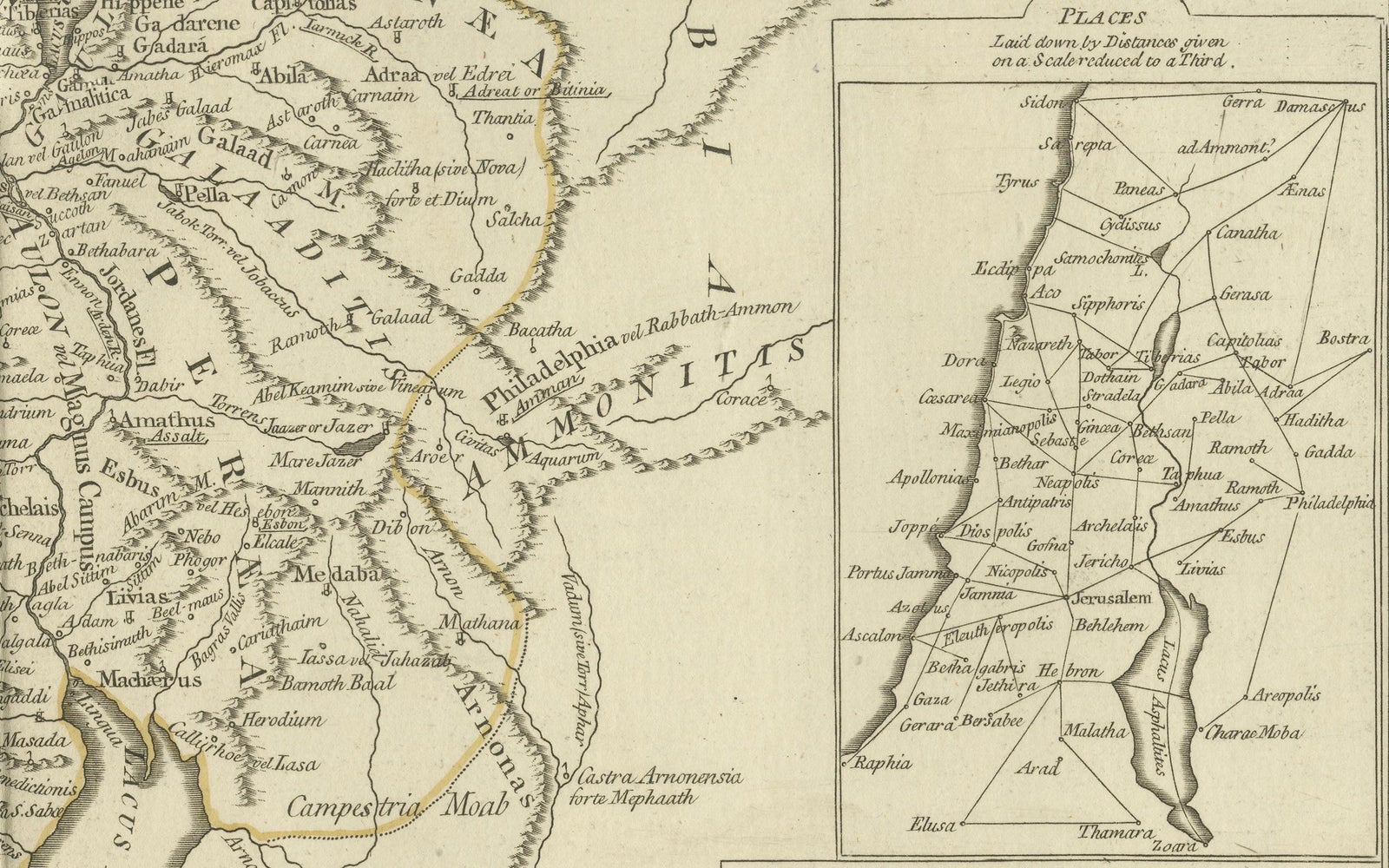
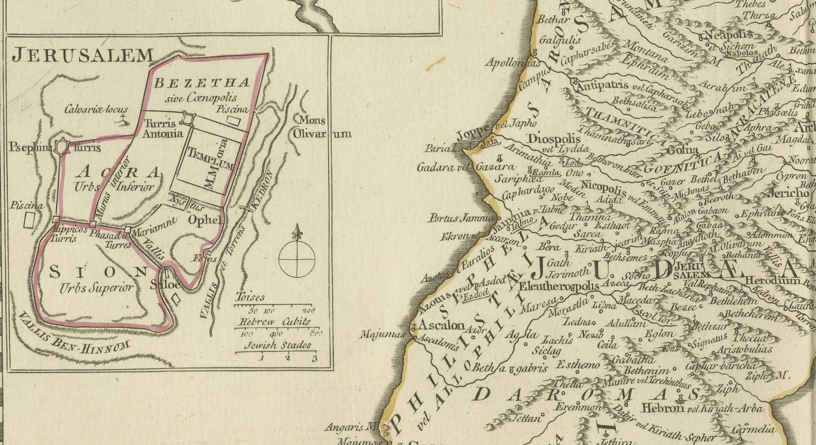

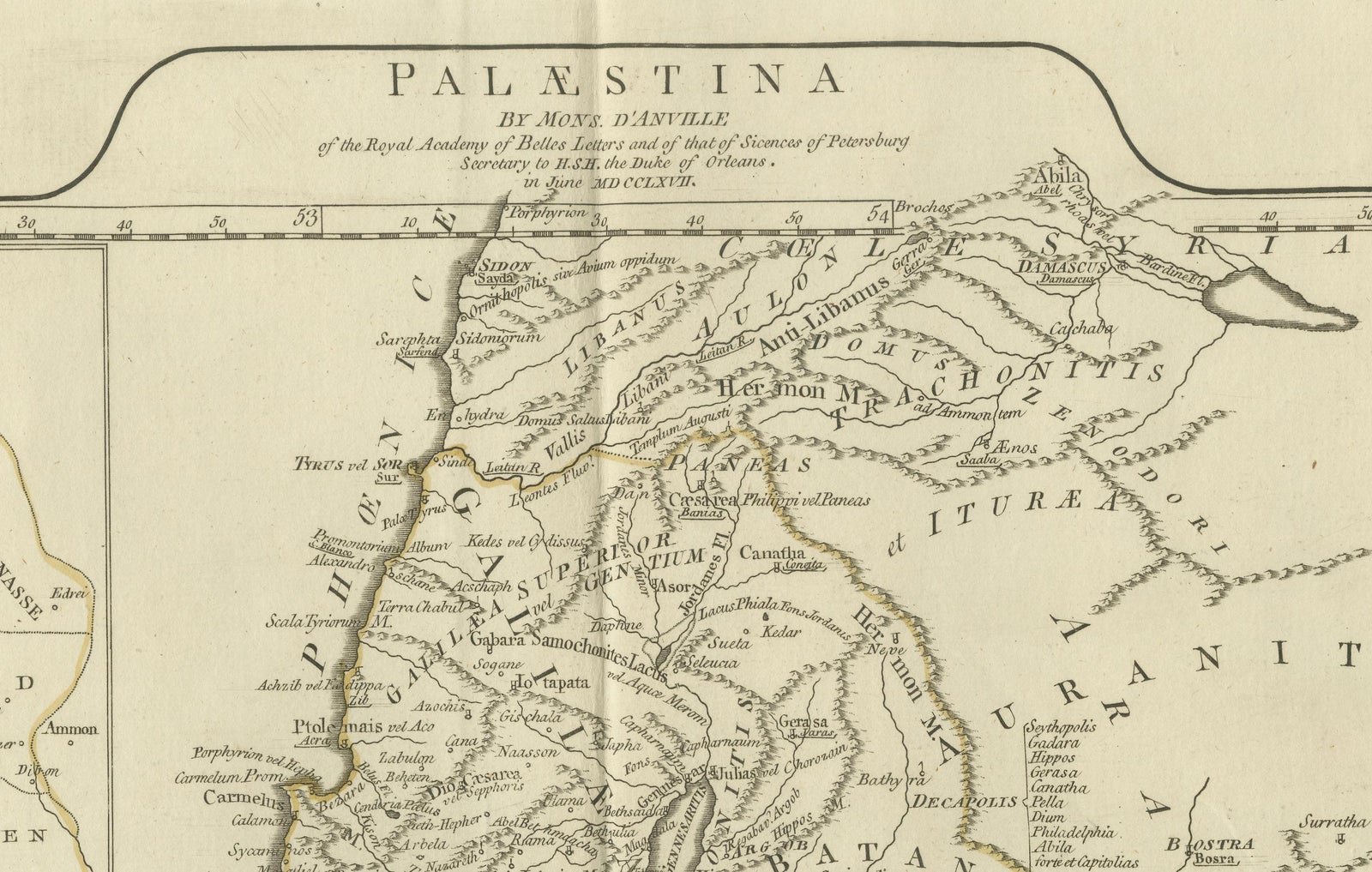
Framed and on the wall
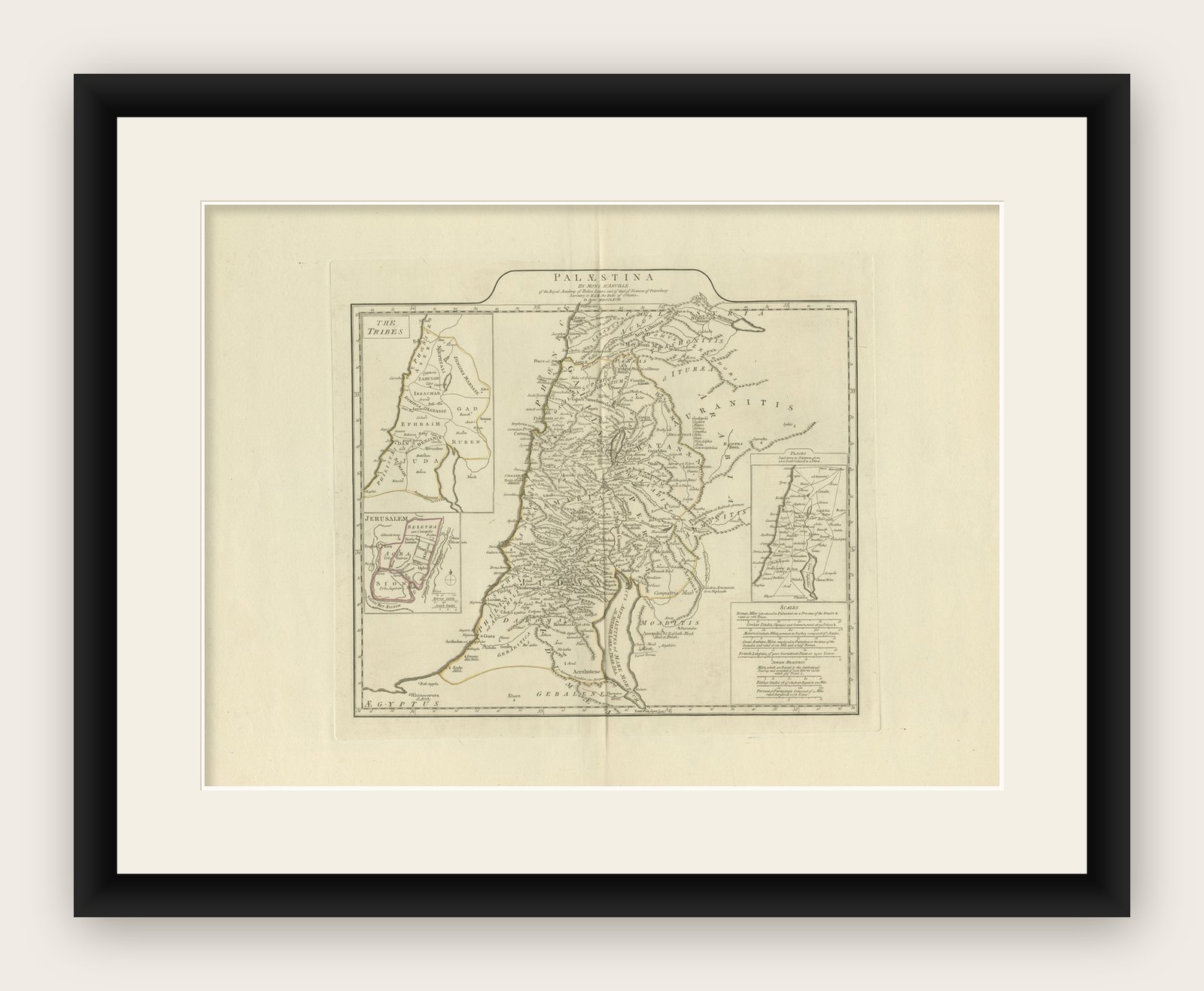
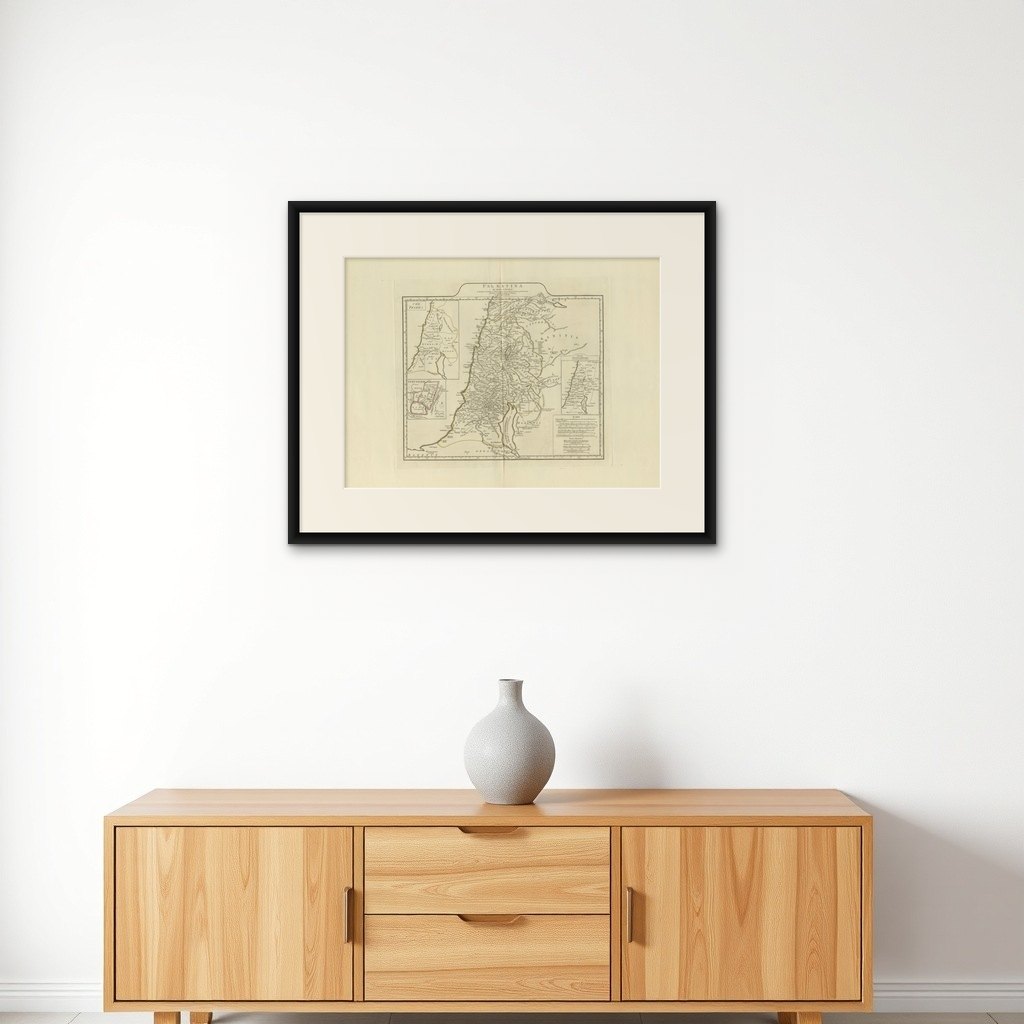

Frame and rooms are illustrations of how the print could look, drawn to its real size; it is sold unframed unless the description says otherwise.
The Holy Land
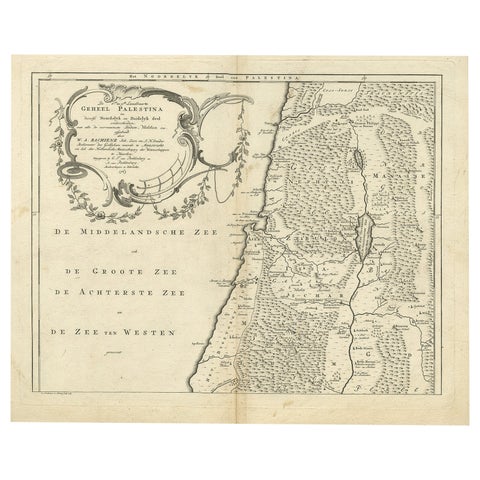
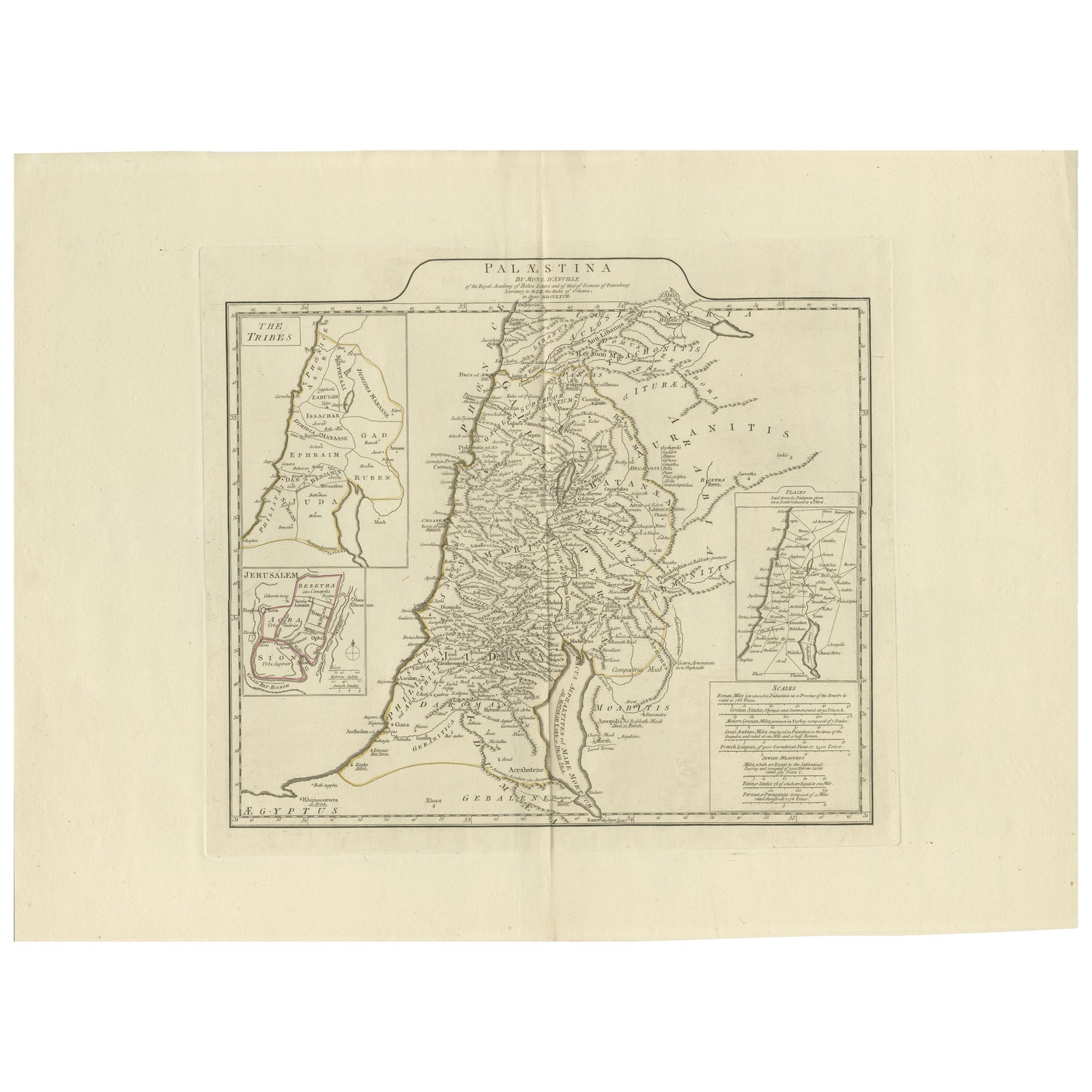
1767 D’Anville Map of the Holy Land: Ancient Divisions and Biblical Geography
Anno Domini MDCCLXVII1767
€880
$990 · £745
Original print, not a reproduction
Ships worldwide from the Netherlands, flat, insured and tracked. 14-day returns. To buy, use Ask a question (info@antiquesacredprints.com) and we will reserve it for you.
- Date
- 1767
- Sheet size
- 20.7 × 27.8 in (52.5 × 70.5 cm)
- Condition
- Good. Condition report: An excellent map that is well-preserved with minor edge wear and slight age toning; hand-colored borders intact. Clean surface, no visible tears or significant creases.
- Faith
- Christianity, Judaism
- Collection
- The Holy Land
- Era
- 1700 to 1799, Mortier, Picart and the illustrated Bible
- Stock no.
- f_42637962
Ancient Map of Palestine or the Holy Land by D'Anville (1767)
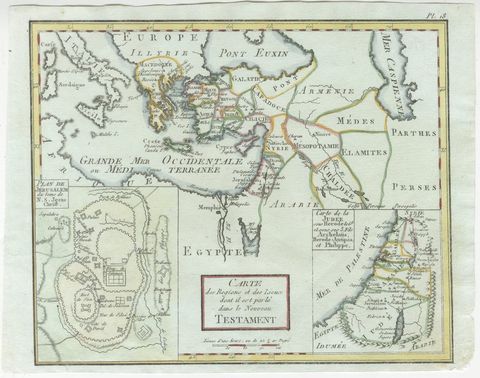
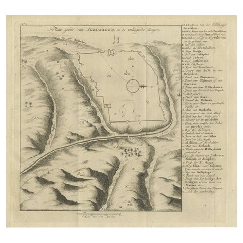
This detailed map, created by the renowned French cartographer Jean Baptiste Bourguignon d'Anville in 1767, depicts the ancient geography of Palestine or the Holy Land. It focuses on biblical and historical features, highlighting the divisions among the Twelve Tribes of Israel, key biblical cities, and significant regions such as Judea, Samaria, and Galilee. Insets include a detailed plan of ancient Jerusalem and the encampments of the Israelites.
The map showcases D’Anville’s characteristic precision and scholarly rigor, reflecting his efforts to provide an accurate representation of ancient territories based on historical and biblical sources. Rivers, mountains, and cities are intricately drawn, with annotations explaining their historical significance.
Condition report: Map is well-preserved with minor edge wear and slight age toning; hand-colored borders intact. Clean surface, no visible tears or significant creases.
Explore