1700 to 1799: Mortier, Picart and the illustrated Bible
Religious prints and maps printed between 1700 and 1799. Every one a period original.
52 prints
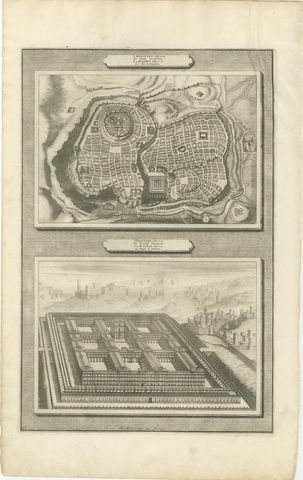
The Holy Land · MDCC
Plan of Jerusalem and Bird's Eye View of Solomon's Temple, Mortier, circa 1700
circa 1700€260
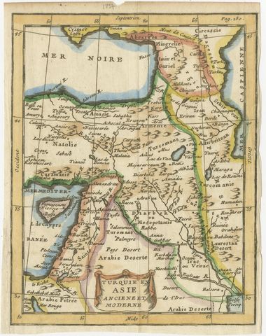
The Holy Land · MDCCLX
Antique Turkey in Asia Map with Cyprus and the Holy Land, circa 1760
circa 1750-1770€195
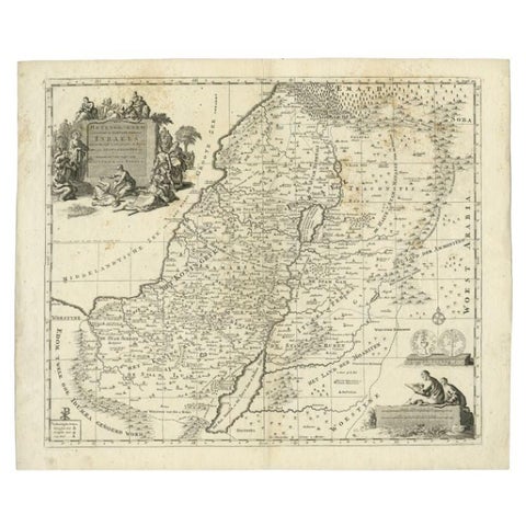
The Holy Land · MDCCXX
Antique Map of the Holy Land by Van Luchtenburg, c.1720
1720 · 53 × 45 cm€140
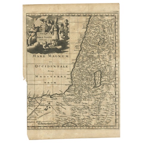
The Holy Land · MDCCX
Antique Map of the Holy Land, c.1710
1710 · 21 × 30 cm€120