Chapel I of V
The Holy Land
Maps of Canaan, Palestine and the Twelve Tribes, and plans and views of Jerusalem, from Bünting's woodcut of about 1581 to Blaeu, Jansson, Sanson, De Wit, Homann and the Bible atlases of the 18th and 19th centuries. The strongest part of the collection and the one most collectors start with.
52 prints
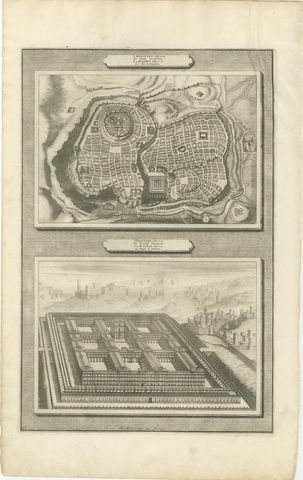
The Holy Land · MDCC
Plan of Jerusalem and Bird's Eye View of Solomon's Temple, Mortier, circa 1700
circa 1700$295
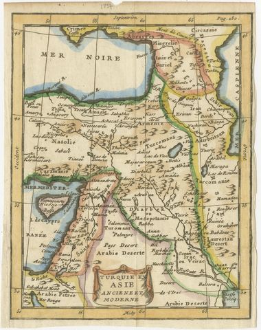
The Holy Land · MDCCLX
Antique Turkey in Asia Map with Cyprus and the Holy Land, circa 1760
circa 1750-1770$220
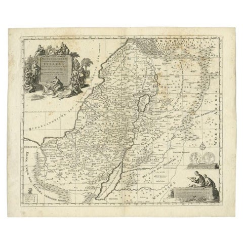
The Holy Land · MDCCXX
Antique Map of the Holy Land by Van Luchtenburg, c.1720
1720 · 53 × 45 cm$160
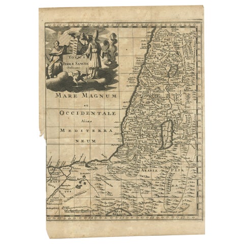
The Holy Land · MDCCX
Antique Map of the Holy Land, c.1710
1710 · 21 × 30 cm$135